New Interactive Map Pinpoints Every DC Traffic Camera and Its Ticketing Habits
Share this article
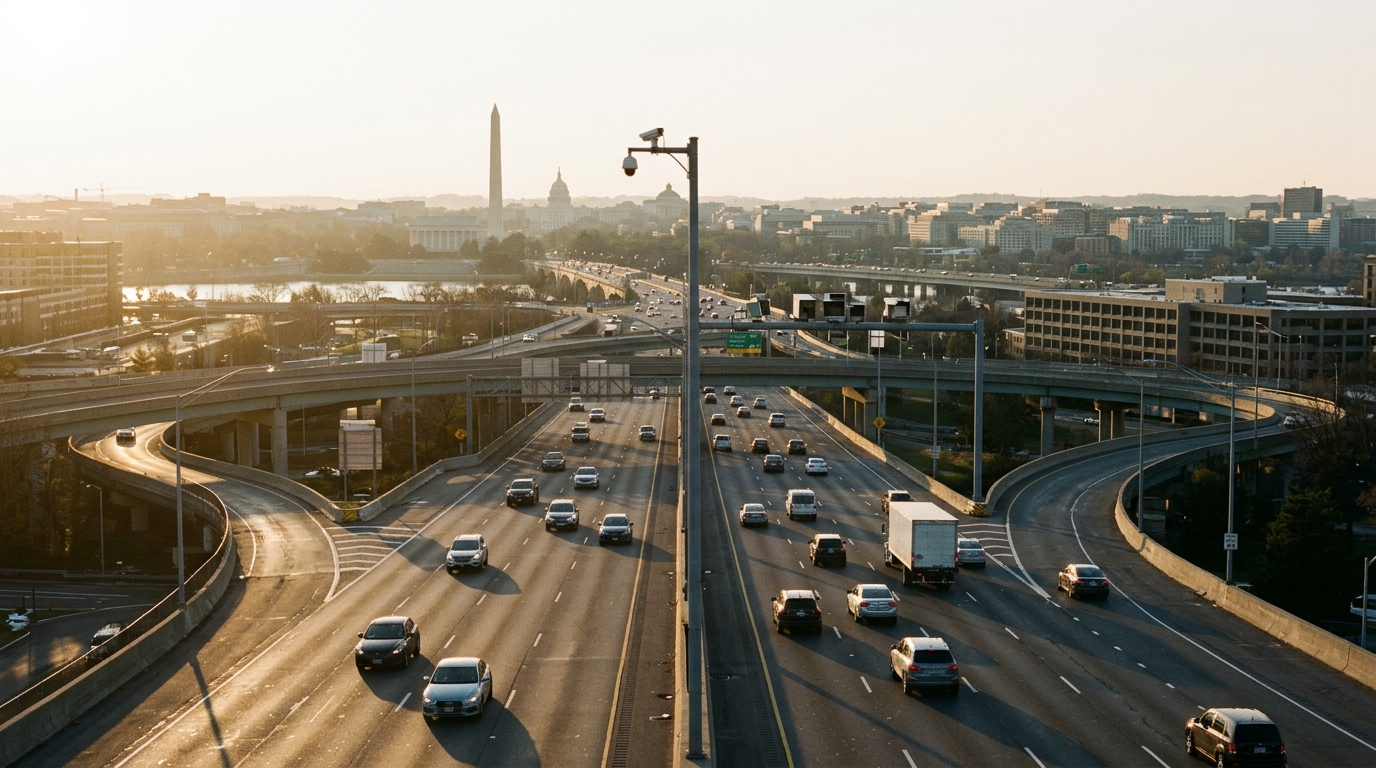
"I see it as a safety tool: cameras deter speeding most effectively when their locations are known, and a clear public map turns each one into a visible reason to ease off on the streets where people walk and bike." — Map Creator (PoPville)This perspective highlights a key debate around automated enforcement: are cameras primarily revenue generators or genuine safety measures? By making their locations and activity transparent, the map aims to shift the focus towards behavioral change and accident prevention.
Understanding DC's Ticketing Landscape
The data compiled for the map, covering September 2025 to August 2026, paints a striking picture of automated enforcement in the District. In that 12-month period, DC's cameras issued a staggering 2.44 million tickets. That's roughly one ticket every 13 seconds, a relentless pace that underscores the sheer volume of violations detected. A closer look reveals that speed cameras are the dominant force in this system. Out of 222 speed cameras, 174 are situated in 25 mph zones. This concentration in lower-speed areas often reflects the city's efforts to protect residential streets and areas with high pedestrian and cyclist traffic, where even small increases in speed can significantly elevate accident severity. The geographical distribution of these tickets also tells an important story. Wards 5 and 7, which encompass large residential areas in the eastern part of the city, accounted for a substantial 45% of all tickets issued during the analyzed period. This concentration raises questions about equity in enforcement and the specific traffic challenges faced by these communities. It could indicate higher rates of speeding in these areas, or perhaps a greater density of cameras, affecting a significant portion of DC residents.Navigating the Map and What It Means for Drivers
The interactive map is user-friendly and accessible directly through its dedicated website. Users can zoom in on specific neighborhoods, click on individual camera icons to see details like the street name, direction, speed limit, and monthly ticket counts. This level of detail empowers drivers to be more aware of their surroundings and adjust their driving habits accordingly. For Washington, DC residents, this map offers an unprecedented level of transparency regarding the city's traffic enforcement. Knowing exactly where cameras are and which ones are most active can help drivers avoid costly tickets and, more importantly, encourage safer driving behavior. It also provides a tool for community advocates and policymakers to analyze enforcement patterns and discuss potential adjustments to camera placement or public awareness campaigns. As the city continues its Vision Zero initiative to eliminate traffic fatalities and serious injuries, tools like this map can contribute to a more informed public dialogue about road safety. Moving forward, it will be interesting to see how the public and city officials engage with this new resource. Will it lead to a noticeable drop in tickets in certain areas? Will it spur discussions about camera placement and equity? For now, drivers in the District have a powerful new tool at their fingertips to navigate DC's roads more safely and strategically.📍 Local Resources
Official source for DC traffic data, road safety initiatives, and transportation policies.
Interactive map showing all fixed traffic cameras in DC and their ticketing statistics.
Handles appeals for traffic tickets and other District government infractions.
Explore more on this topic
Related Stories
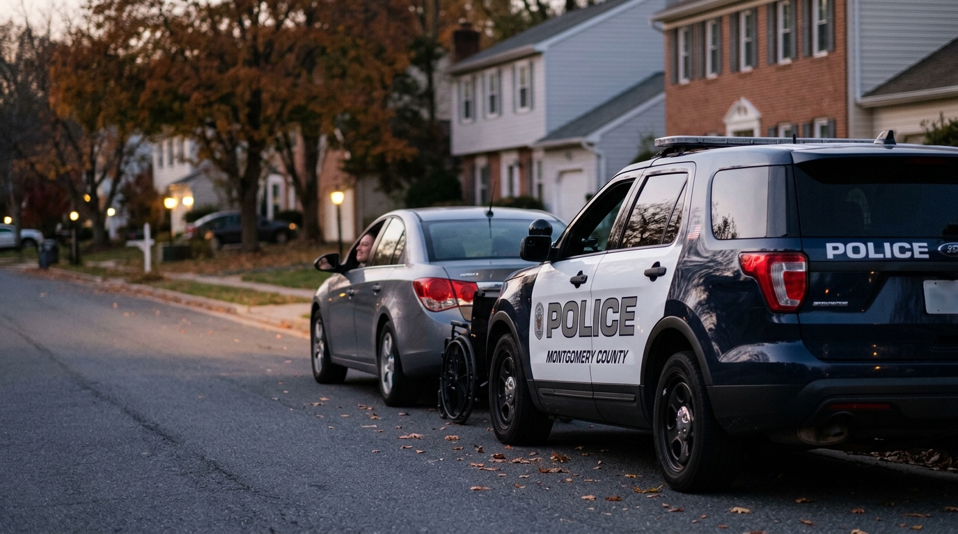
Montgomery County Police Host Mock Traffic Stops for Drivers with Disabilities
Montgomery County Police are hosting mock traffic stops to help drivers with disabilities navigate interactions with law enforcement, aiming to reduce anxiety and improve communication for everyone on the road.
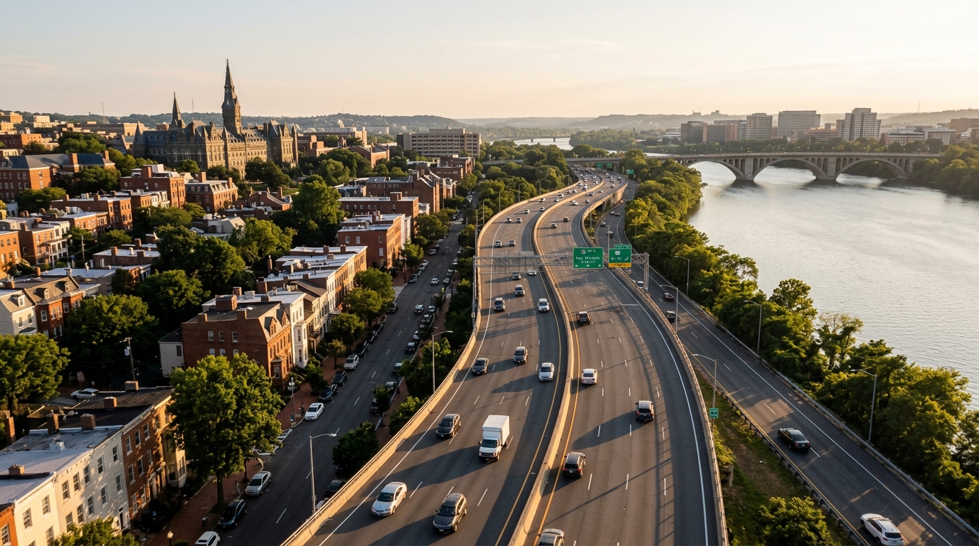
Georgetown Braces for Traffic Jams as Repairs Get Underway
Georgetown residents and commuters are warned to expect significant traffic jams due to upcoming repairs in the historic neighborhood, prompting calls for alternative travel plans.
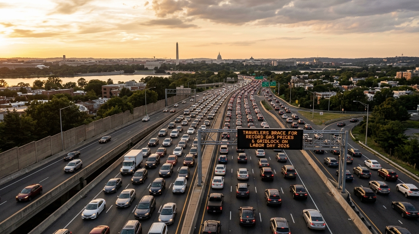
DMV Travelers Brace for Record Gas Prices, Gridlock on Labor Day 2026
DMV residents planning Labor Day 2026 travel should prepare for record-high gas prices and severe traffic congestion on major regional arteries like I-95 and US-50. This early forecast signals a challenging holiday weekend, urging locals to plan ahead for increased costs and significant delays.