Maryland Braces for Wild Weather Swings: From 85 Degrees to Tornado Threats and a Cold Snap
Share this article
Damaging Winds on the Horizon
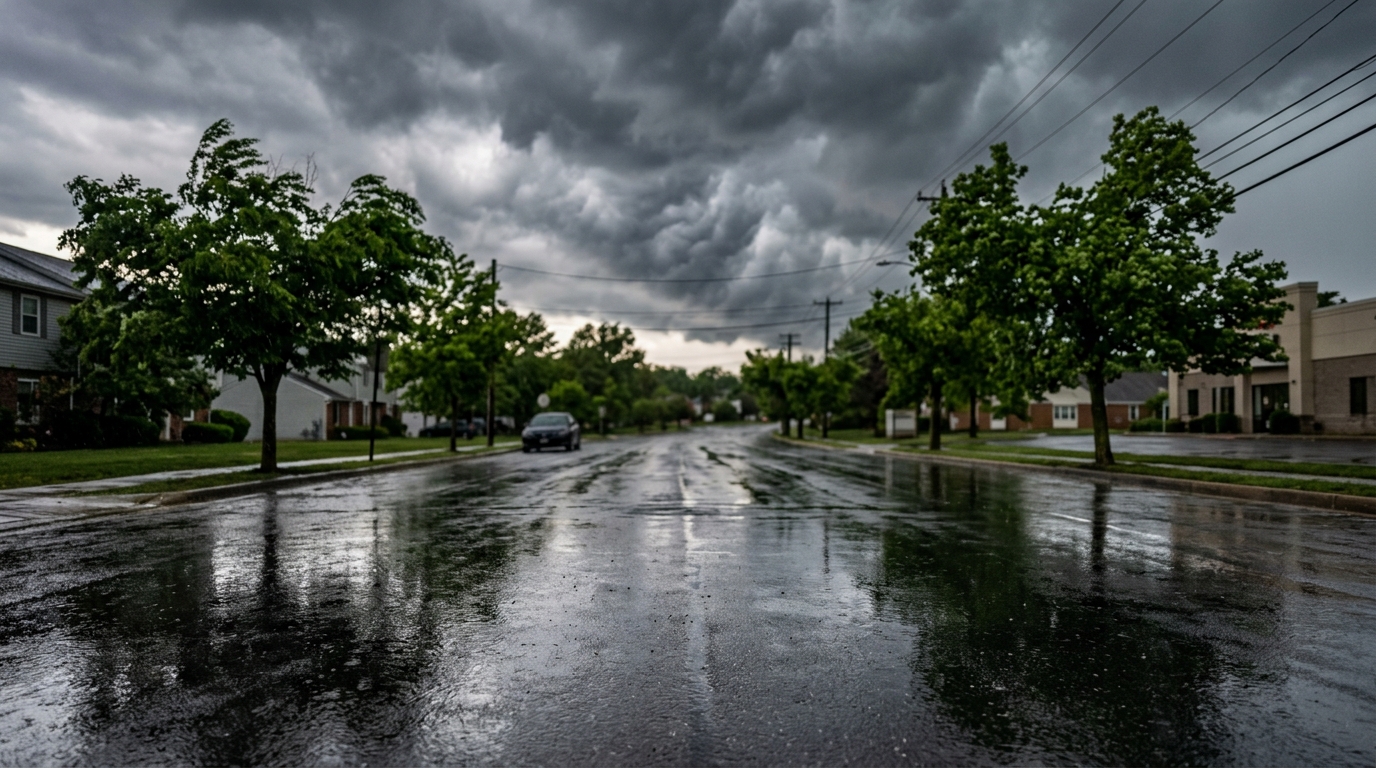
Beyond the surprising warmth, the forecast includes threats of damaging winds that could impact much of Maryland. These aren't just your average breezy spring day gusts. Damaging winds are typically defined as sustained winds of 58 miles per hour or greater, or gusts that can cause structural damage to homes, down trees, and lead to widespread power outages. Such winds can turn outdoor furniture into projectiles and create hazardous driving conditions, particularly for high-profile vehicles.The Looming Threat of a Tornado
Perhaps the most concerning aspect of this volatile forecast is the "possible tornado" threat. While tornadoes aren't an everyday occurrence in Maryland, they do happen, and the conditions described — warm, moist air ahead of a strong cold front — are classic precursors for severe thunderstorm development, which can spawn tornadoes. Tornadoes are highly localized but incredibly destructive, capable of causing significant damage in their path. A tornado watch means conditions are favorable for tornadoes to develop in or near the watch area. A tornado warning, on the other hand, means a tornado has been sighted or indicated by weather radar, posing an imminent threat to life and property. Knowing the difference and having a plan is paramount. For those in the Maryland portion of the DMV, including areas like Gaithersburg or Rockville, these warnings should be taken with extreme seriousness. The National Weather Service's tornado safety guidelines emphasize seeking shelter immediately in an interior room on the lowest floor of a sturdy building, away from windows.A Cold Front to Follow the Heat
Just as Marylanders are grappling with the heat and severe weather potential, a significant cold front is expected to sweep through the region. This front will bring a stark contrast to the earlier warmth, dropping temperatures considerably and ushering in much cooler air. This kind of rapid temperature fluctuation can be jarring, not only for people but also for infrastructure. The sudden chill after a warm spell can stress heating systems and even impact sensitive outdoor plants. The timing and intensity of this cold front will determine how quickly the state transitions from summer-like conditions to more typical spring temperatures, or even below average for the season. It’s a classic example of spring's unpredictability, where one day can feel like July and the next like early March. This dramatic shift highlights the need for layers of clothing and an awareness of how quickly the weather can change over the course of a single day or weekend.What This Means for DMV Residents in Maryland
For residents across the Maryland portion of the DMV, from the bustling streets of Bethesda to the quieter communities in northern Montgomery County and across Frederick County, this forecast is a call to action for preparedness. The confluence of high temperatures, potential damaging winds, and a tornado threat, followed by a cold front, means vigilance is key. Local authorities, including county emergency management offices, will be closely monitoring the situation and issuing specific alerts as needed. Staying informed via local news, weather radio, and official government alerts will be crucial in navigating this complex weather event. Prepare for power outages, secure outdoor belongings, and know your safe place in case of a tornado warning.📍 Local Resources
Provides state-level emergency preparedness information, alerts, and resources for various hazards, including severe weather.
Offers county-specific emergency preparedness guidance, local alerts, and resources for residents in Montgomery County.
Provides emergency preparedness plans, alerts, and resources tailored for residents and businesses in Frederick County.
Report and check the status of power outages in Pepco's service areas, including parts of Montgomery County.
Explore more on this topic
Related Stories

Fairfax County to Cut Speed Limits to 20 MPH on Ten Local Roads
Fairfax County is set to lower speed limits to 20 miles per hour on ten local roads, a move designed to boost safety for pedestrians and residents in neighborhood areas. This initiative reflects the county's commitment to traffic calming and reducing accident severity.
Maryland Drivers Get a Break: Gov. Moore Pauses State Toll Hikes for a Year
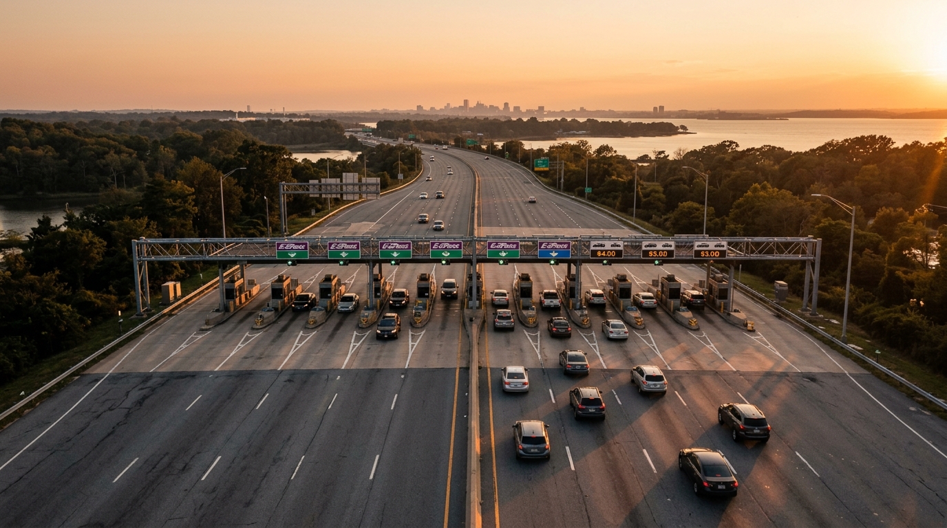
Maryland Governor Wes Moore has announced a pause on all state toll increases for the next year, a move expected to save residents an estimated $50 million. This decision offers financial relief to drivers who use major facilities like the Bay Bridge, I-95, and Baltimore tunnels.

Arlington School Zone Speed Cameras Now Issuing $100 Tickets
Drivers in Arlington's school zones are now facing $100 fines as new speed cameras have begun issuing violations after a warning period. This move aims to boost safety for students and pedestrians around schools.