As the heart of spring unfolds across the Washington Metropolitan Area, residents are poised to experience a noticeable shift in atmospheric conditions, with temperatures gracefully climbing towards the 80-degree mark before a cooler, wetter weekend settles in. This brief but significant warmth offers a fleeting taste of summer's embrace, painting the landscape with a distinct change in the air. The coming days promise a departure from the recent crispness, as a gentle warmth begins to permeate the region. Today, Thursday, and extending into Friday, the mercury is expected to ascend, reaching highs near 80 degrees across Washington, D.C., and its surrounding Maryland and Virginia suburbs [1]. This rise in temperature brings with it the characteristic feel of late spring, encouraging outdoor activities and a lighter approach to daily attire. ### A Brief Flourish of Warmth and Intermittent Showers The air during this period will carry a certain humidity, a subtle precursor to the summer months, yet still tempered by the freshness of spring. While the warmth will be the predominant feature, the forecast also suggests occasional chances for rain [1]. These potential showers are not expected to be widespread or prolonged, instead manifesting as sporadic interruptions to the otherwise bright and warm days. Such an atmospheric dance is characteristic of the Mid-Atlantic region's spring, where sunny spells can quickly give way to brief, refreshing rainfall.
Temperatures in the DMV region are expected to climb near 80 degrees today and Friday, offering a warm interlude before a cooler weekend.
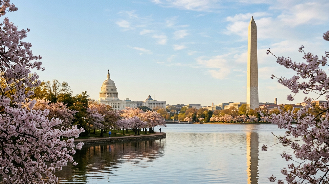
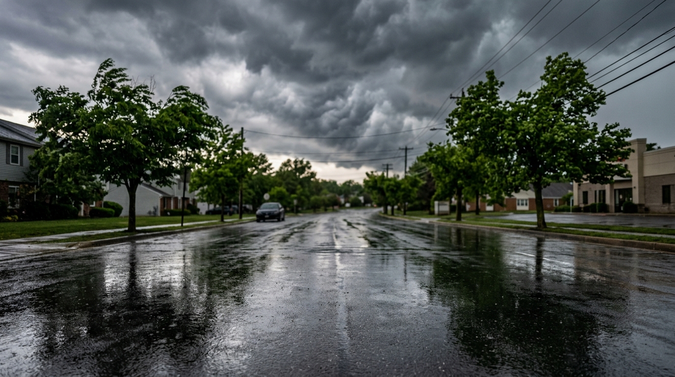
For those planning to enjoy the blossoming landscapes of the district, from the tidal basin to the verdant trails of Rock Creek Park, the warmth provides an ideal backdrop. However, the intermittent rain chances advise a degree of preparedness, perhaps a light umbrella for unexpected drizzles. The National Weather Service Baltimore/Washington offers detailed hourly forecasts for precise timing of any precipitation. ### The Weekend's Shifting Canvas: Cooler and Wetter Conditions Arrive The atmospheric narrative takes a distinct turn as the weekend approaches. Saturday is projected to bring significantly cooler and wetter conditions to the DMV area [1]. This shift will usher in a more typical spring chill, with temperatures receding from the 80-degree highs, accompanied by more consistent rainfall. This change marks a return to the more variable nature of the season, reminding residents of spring's inherent unpredictability. The cooler air is anticipated to linger into Sunday, with temperatures remaining on the cool side of normal for this time of year [1]. This sustained coolness will likely necessitate warmer layers for any outdoor excursions, a stark contrast to the preceding days' warmth. Residents planning weekend activities, from farmers' market visits in Dupont Circle to exploring the historical sites of Old Town Alexandria, should consult the latest forecasts and dress accordingly. Information on local park conditions and closures can often be found on National Capital Parks-East websites. This upcoming weather pattern, characterized by a brief surge of warmth followed by a cooler, wetter weekend, underscores the dynamic nature of spring in the Mid-Atlantic. It offers a moment to appreciate the seasonal changes, from the blossoming trees under a warm sun to the refreshing coolness of a spring rain. Staying informed of these shifts is key to navigating the varied beauty of the region's climate. For general preparedness tips and local alerts, the DC Homeland Security and Emergency Management Agency (HSEMA) provides valuable resources.
📍 Local Resources
DC Homeland Security and Emergency Management Agency (HSEMA)
Provides emergency preparedness information, weather alerts, and safety tips for District residents.