DMV Braces for Overnight Severe Thunderstorms and Damaging Winds This Thursday
Share this article
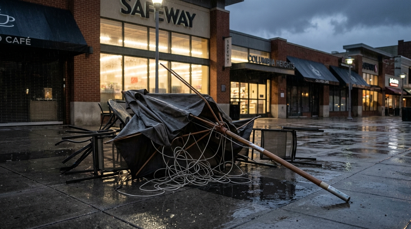
Understanding the Threat: Severe Storms and Damaging Winds
When meteorologists issue warnings for "severe thunderstorms," it's more than just heavy rain and lightning. These classifications typically mean a storm is capable of producing hail at least one inch in diameter, or winds gusting to 58 miles per hour or stronger. In this case, the specific mention of "damaging winds" points to a heightened risk of straight-line winds powerful enough to cause significant disruption. These kinds of winds can snap tree branches, down entire trees, and send unsecured objects flying. For homes, this can mean damage to roofs or siding, especially if older or not recently inspected. For those on the roads, especially during the late-night hours when visibility is already low, strong winds combined with heavy rain can make driving extremely hazardous. The overnight timing adds another layer of concern, as many residents will be asleep and less aware of rapidly changing conditions or immediate threats.What This Means for DMV Residents
From the bustling streets of downtown D.C. to the suburban neighborhoods of Montgomery County and the sprawling communities of Fairfax, the entire "DC region" is under this watch. This means anyone living, working, or traveling through these areas should be aware of the forecast for Thursday night. The primary concerns for residents include power outages due to downed trees or power lines, which can leave thousands without electricity for hours or even days depending on the extent of the damage. Commuters should also be mindful of potential debris on roads Friday morning, which could snarl traffic and delay routes, even if the storms have passed. Local emergency services will be on high alert, ready to respond to calls for assistance, but individual preparedness remains key.Preparing for the Storm
Being ready for severe weather isn't just about hunkering down; it's about preparation. Before Thursday evening arrives, residents should take a few crucial steps. First, secure any loose outdoor items like patio furniture, trash cans, or children's toys that could become projectiles in strong winds. This simple act can prevent property damage or injury. Next, ensure all mobile devices, laptops, and power banks are fully charged. If power goes out, these devices will be your lifeline for communication and staying informed. It's also wise to have a battery-powered radio or a NOAA weather radio on hand to receive emergency alerts. A basic emergency kit, including flashlights, extra batteries, a first-aid kit, and a supply of non-perishable food and water, is always a good idea to have readily accessible. You can find comprehensive guides on assembling these kits from the Department of Homeland Security's Ready.gov website. For those dependent on medical equipment, or with specific health needs, having a plan for power outages is paramount. This might include communicating with medical providers or local emergency services in advance if a prolonged outage could pose a risk.Staying Informed and Safe
During the storm, the safest place is indoors, away from windows and doors. If you hear thunder, you're close enough to be struck by lightning, so seek immediate shelter. Avoid showering or using landline phones during a thunderstorm, as lightning can travel through plumbing and phone lines. After the storm passes, exercise caution. Do not drive through flooded roads, as even shallow water can hide dangerous debris or currents. Stay away from downed power lines; assume they are live and report them immediately to your local utility company. Information on reporting outages and checking service status can usually be found on the websites of providers like Pepco or Dominion Energy. The National Weather Service (NWS) for the Baltimore/Washington area will be the primary source for updated forecasts and any watches or warnings issued. Keeping an eye on their advisories through local news channels or weather apps is highly recommended. As Thursday evening approaches, DMV residents should remain vigilant, take necessary precautions, and be ready to adapt to changing weather conditions. Being prepared can make a significant difference in navigating the potential impacts of severe thunderstorms and damaging winds.📍 Local Resources
Official source for local weather forecasts, watches, and warnings.
Report power outages and check real-time restoration estimates for customers in Washington, D.C., and parts of Maryland.
Report power outages and view outage maps for customers in Northern Virginia.
Provides emergency preparedness information and resources for Washington, D.C. residents.
Explore more on this topic
Related Stories
Sudden Autumn Chill Grips DC Area: Weekend Rain and Gusty Winds Mark End of Summer Warmth
After days of summer-like warmth, a cold front has dramatically shifted the DMV's weather, bringing chilly temperatures, widespread rain, and gusty winds this weekend. Residents should prepare for a significant drop in mercury and plan for soggy conditions, especially on Sunday.
DC Braces for Cooler Weekend with Scattered Showers
Washington, D.C., and its surrounding areas are bracing for a weekend featuring noticeably cooler temperatures and scattered showers. Residents planning outdoor activities might need to adjust, as the forecast points to a clear shift towards more autumnal weather.
Summer Heatwave Peaks Across DMV Before Rain and Cooler Temps Sweep In
The DMV region is set for a dramatic weather shift this week, with summer-like heat peaking Wednesday, pushing "feels like" temperatures near 100 degrees Fahrenheit. A cold front will then bring scattered showers and thunderstorms Wednesday evening, followed by significantly cooler temperatures and lower humidity for Thursday and Friday, with highs in the mid-70s.