Sudden Autumn Chill Grips DC Area: Weekend Rain and Gusty Winds Mark End of Summer Warmth
Share this article
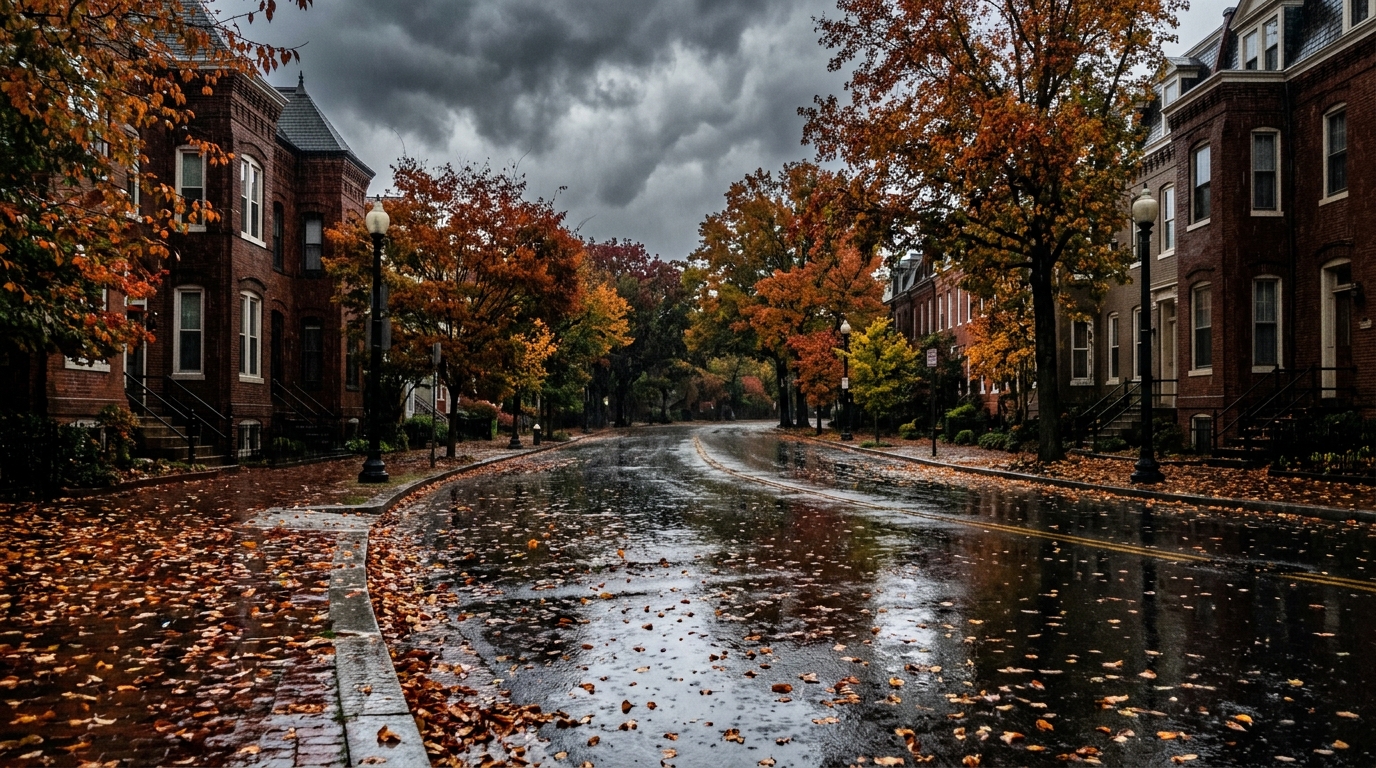
From Summer Sizzle to Autumn Drizzle
Saturday kicked off the cooler trend, though it might offer a few fleeting moments of sunshine. Much of the day will remain under a blanket of clouds, with isolated showers possible as a cold front slowly creeps into the region and then decides to settle in. Highs will hover in the mid to upper 60s, a noticeable departure from the recent warmth. The National Weather Service (NWS) Sterling, VA office indicates that a high-pressure system building to the north will maintain a light north to northeasterly flow, keeping temperatures firmly in the autumn range. While the stalled front remains to the south, it's keeping conditions mostly dry for Saturday, though the clouds aren't going anywhere fast.Weekend Washout: Sunday's Rain Outlook
The real test for umbrellas comes on Sunday. Forecasters are pointing to an increased likelihood of widespread rain throughout the day. Showers are expected to begin before 3 p.m. and could continue well into Sunday evening. The NWS anticipates new precipitation amounts to be between a tenth and a quarter of an inch."New precipitation amounts between a tenth and quarter of an inch possible." — National Weather Service (WTOP)This increased rain chance stems from moisture riding north over the stalled front, coupled with an area of low pressure developing along it. Temperatures will remain cool, generally peaking in the mid to upper 60s, and a slight breeze will be a constant companion throughout the weekend.
Breezy Start to the Workweek
As the weekend wraps up, the workweek will usher in drier, but still noticeably cool, conditions. Monday is expected to start with any lingering showers quickly dissipating, making way for increasing sunshine. However, residents should prepare for a significant breeze. Forecasters predict northwest winds of 10-15 mph, with gusts potentially reaching as high as 25 mph as another cold front sweeps through the area. This will also bring a welcome drop in humidity. Highs on Monday will reach the upper 60s to lower 70s, but the cooler air will settle in more profoundly by Monday night.What This Means for DMV Residents
This sudden meteorological shift impacts everyone in the DMV. From those planning trips to local pumpkin patches in Montgomery County to commuters relying on WMATA for weekend travel, the weather demands attention. Dressing in layers, carrying an umbrella, and checking local forecasts before heading out will be crucial. The gusty winds on Monday could also affect outdoor decorations or light objects, so securing loose items might be a good idea. As the region transitions fully into fall, residents should stay informed about changing weather patterns. This weekend serves as a clear reminder that it's time to swap out those summer clothes for warmer layers and prepare for the cooler months ahead. Keep an eye on local forecasts for any adjustments to the expected rain and wind, especially if you have outdoor plans.📍 Local Resources
Provides guidance and resources for emergency preparedness, including severe weather. Offers tips on staying safe during cold weather, power outages, and other emergencies.
Offers disaster relief, emergency preparedness education, and shelter support during significant weather events. Check for local shelter information if severe weather impacts utilities.
Provides county-specific emergency alerts, preparedness information, and resources for residents in Montgomery County, Maryland, regarding weather-related impacts.
Explore more on this topic
Related Stories
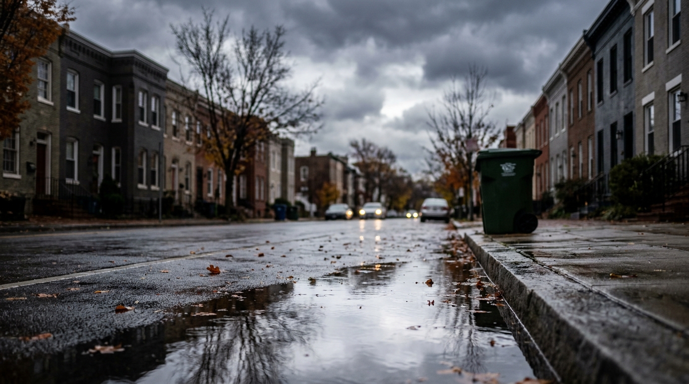
DC Braces for Cooler Weekend with Scattered Showers
Washington, D.C., and its surrounding areas are bracing for a weekend featuring noticeably cooler temperatures and scattered showers. Residents planning outdoor activities might need to adjust, as the forecast points to a clear shift towards more autumnal weather.
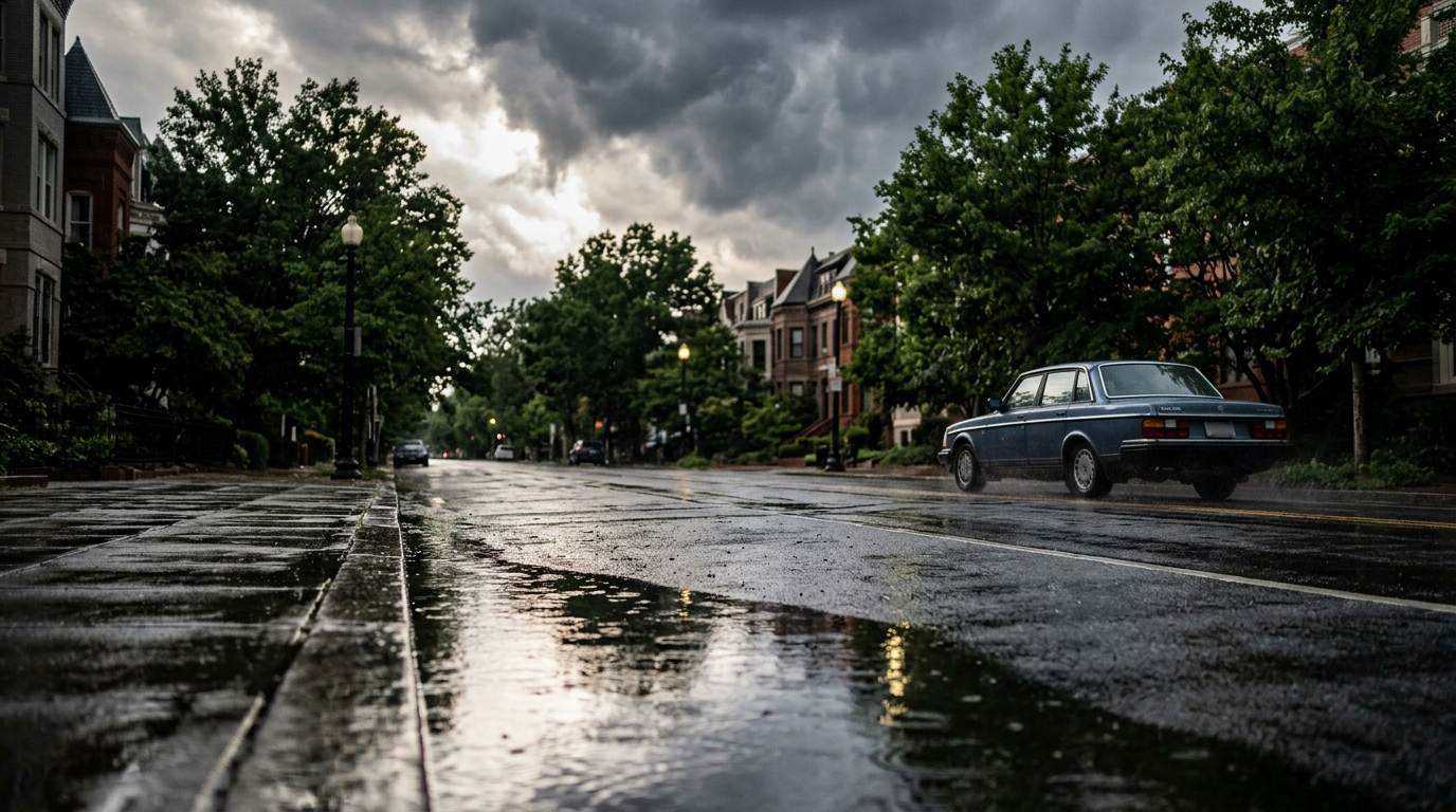
Summer Heatwave Peaks Across DMV Before Rain and Cooler Temps Sweep In
The DMV region is set for a dramatic weather shift this week, with summer-like heat peaking Wednesday, pushing "feels like" temperatures near 100 degrees Fahrenheit. A cold front will then bring scattered showers and thunderstorms Wednesday evening, followed by significantly cooler temperatures and lower humidity for Thursday and Friday, with highs in the mid-70s.
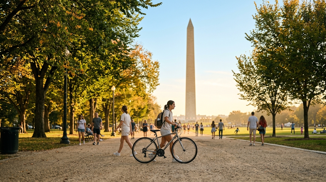
Summer's Encore: DMV Braces for Unseasonably Warm 80-Degree October Days
The DMV area is set for an unexpected return to summer-like temperatures this week, with forecasts predicting highs reaching 80 degrees and even hotter days on the way, pushing back the usual crisp autumn feel.