D.C. Soaks Up Sunny Mid-80s Today Before Thursday's Cold Front Arrival
Share this article
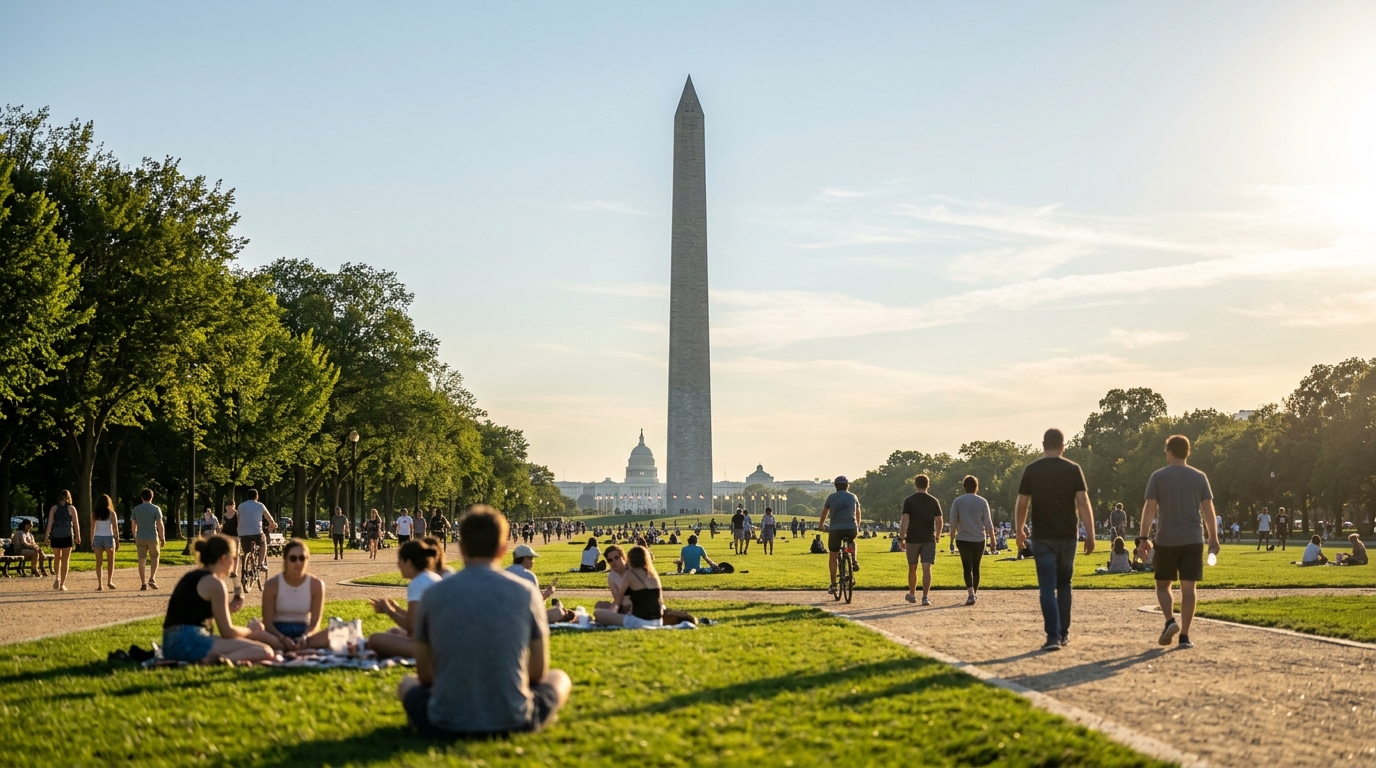
Enjoying the Last Licks of Summer
For many Washingtonians, today's forecast means ideal conditions for outdoor activities. Whether you're planning a walk through the U.S. Botanic Garden, a jog along the C&O Canal Towpath, or just catching some rays on a patio in Adams Morgan, the clear skies and comfortable temperatures are certainly cooperating. It’s a moment to savor, especially as the days grow shorter and the crisp air of fall looms. The mid-80s are warm enough to feel summery without being oppressively hot, making it a great day for those who work outside or rely on public transportation. Commuters waiting for the Metro, for instance, won't be battling the stifling humidity that often plagues the region earlier in the season. This kind of weather also tends to keep air quality in check, providing a healthier environment for everyone across the District. You can always check the latest air quality readings through the AirNow website for real-time updates.Thursday's Incoming Chill
The pleasant conditions won't last indefinitely, though. The "DC Weather Authority" indicates that a cold front is on a collision course with the DMV, set to arrive on Thursday. While specific details about the front's intensity or any accompanying precipitation weren't detailed in the report, cold fronts typically bring a noticeable drop in temperature, often accompanied by increased winds and sometimes a chance of showers or thunderstorms as the cooler air displaces the warmer, more humid air. This means residents should prepare for a change in wardrobe and potentially adjust outdoor plans for later in the week. A shift from mid-80s to cooler temperatures can feel quite abrupt, especially for those who have grown accustomed to the extended warmth of late summer. It's a good reminder that while D.C. often enjoys prolonged periods of mild weather, autumn transitions can happen quickly.What This Means for D.C. Residents
For those living, working, and commuting in Washington D.C., this weather pattern brings a couple of key takeaways. Today is your prime opportunity to enjoy the outdoors without needing a jacket or worrying about stifling heat. Think about those errands you’ve been putting off that involve walking, or that last picnic in Rock Creek Park. As Thursday approaches, it's wise to keep an eye on the updated forecasts. While a cold front usually means cooler, drier air, sometimes these systems can bring gusty winds or a brief period of rain. Checking the National Weather Service for the Baltimore/Washington area is always a good idea for the most current information. This will help you plan your commute, decide what to wear, and make any necessary adjustments to your schedule to account for the change in conditions.📍 Local Resources
Provides information and resources for D.C. residents on preparing for various emergencies, including severe weather.
Official source for weather forecasts, warnings, and climate information specific to the D.C. metropolitan area.
Information on parks, recreation centers, and outdoor programs, useful for planning activities based on weather.
Explore more on this topic
Related Stories
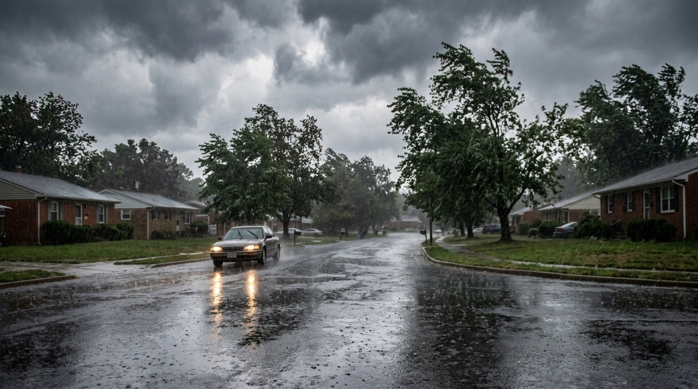
DMV Braces for Weekend Washout as Hurricane Isaias Remnants Approach After Sunny Thursday
The DMV is enjoying a warm, sunny Thursday, but residents should brace for a significant weather shift as the remnants of Hurricane Isaias are expected to bring rain and wind this weekend. Prepare for potential disruptions to travel and outdoor plans across Washington D.C., Maryland, and Northern Virginia.
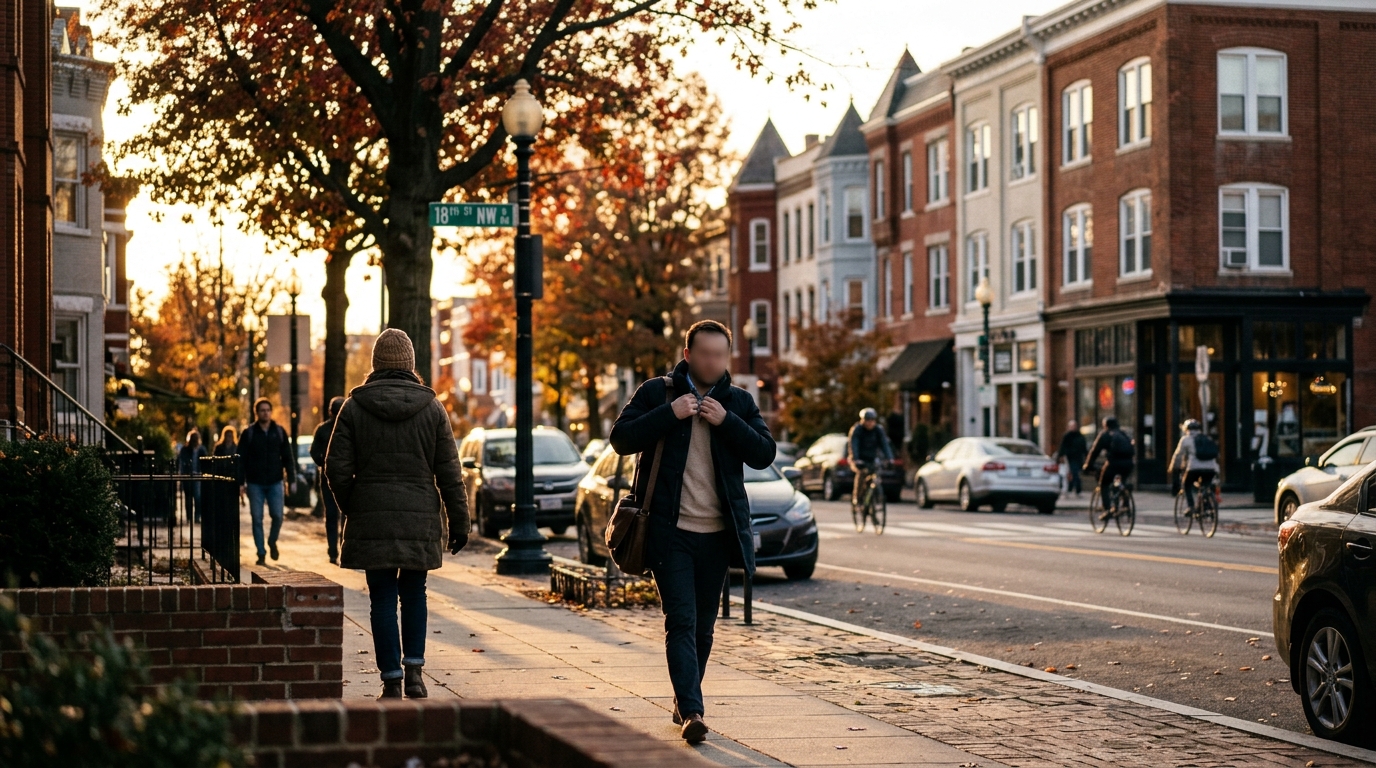
DMV Residents Brace for Chilly Morning, Welcome Milder Wednesday Afternoon
DMV residents can expect a noticeable temperature swing on Wednesday, with a chilly start to the morning giving way to a much milder and more comfortable afternoon across Washington, D.C., Maryland, and Virginia. Layers will be key for navigating the day's changing conditions.
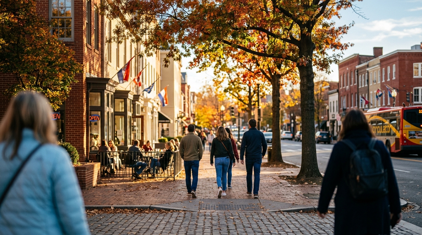
Crisp Fall Tuesday Greets Washington D.C. with Sunshine and Mild Temperatures
Washington