DMV Braces for Weekend Washout as Hurricane Isaias Remnants Approach After Sunny Thursday
Share this article
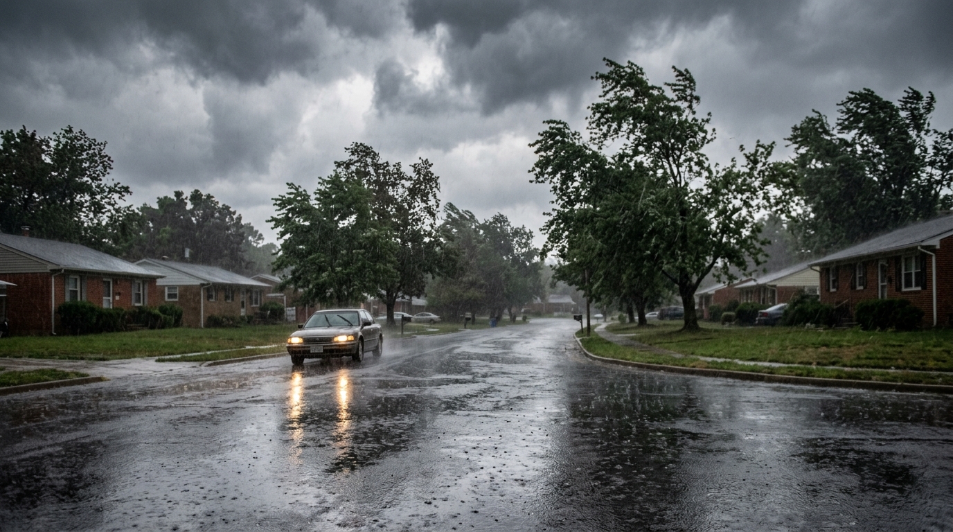
Thursday's Calm Before the Storm
Today's forecast is a welcome one for many across the Washington metropolitan area. Temperatures are expected to climb into the upper 80s, possibly touching 90 degrees in some spots, with abundant sunshine dominating the sky. This creates perfect conditions for outdoor activities, whether it's an afternoon jog along the C&O Canal Towpath, a visit to the National Mall, or simply enjoying a cup of coffee on a patio in Bethesda or Clarendon. The air should feel relatively comfortable, without the oppressive humidity that often blankets the DMV in summer. For those whose work-from-home setups allow for it, a mid-day break outside could be just what the doctor ordered. This warm, sunny stretch is typical for late summer in the DMV, a brief reprieve from the more extreme heat waves or pop-up thunderstorms that characterize the season. Local parks and recreation areas, from Burke Lake in Fairfax County to Seneca Creek State Park in Montgomery County, will likely see increased activity as residents take advantage of the favorable conditions before the weekend's anticipated change.Isaias Remnants: What to Expect This Weekend
The tranquility of Thursday is set to give way to a more turbulent weekend as the remnants of Hurricane Isaias move into the region. While the system will have long shed its hurricane status by the time it reaches the DMV, its residual effects can still pack a punch. According to FOX 5 DC's weather report, residents should prepare for significant weather changes. "Remnants" typically refer to the moisture and energy left over from a tropical cyclone, which can still produce heavy rainfall, gusty winds, and localized flooding. While specific timing for the weekend's impact is still being refined, the general expectation is that Saturday and Sunday will see an increase in cloud cover, followed by periods of rain that could be heavy at times. The ground across parts of the DMV might already be saturated from previous rainfall, making it more susceptible to flash flooding, particularly in low-lying areas or urban environments with extensive impervious surfaces.Impact on DMV Residents and Infrastructure
The arrival of tropical storm remnants in the DMV region always brings a unique set of challenges. For our dense urban and suburban landscape, heavy rainfall can quickly overwhelm drainage systems, leading to hazardous driving conditions. Commuters and weekend travelers, whether heading to the beaches or visiting family within the metro area, should anticipate potential delays and consider adjusting their plans. Roads like the George Washington Memorial Parkway, portions of I-395, and underpasses in downtown DC are particularly vulnerable to flooding. Public transportation could also be affected. While Metro's underground lines are generally resilient, above-ground sections, especially on the Red Line in Montgomery County or parts of the Green and Yellow lines, might experience delays due to track conditions or debris. Bus services could also be impacted by flooded streets and reduced visibility. The Washington Metropolitan Area Transit Authority (WMATA) typically issues service alerts during severe weather events, and residents are encouraged to monitor these updates. Beyond transportation, the potential for power outages is a significant concern. Strong winds, combined with saturated ground, can cause trees to fall onto power lines. Utilities like Pepco, Dominion Energy, and BGE work tirelessly to restore power, but widespread outages can still leave thousands in the dark, impacting everything from refrigeration to internet access. Residents should ensure their mobile devices are charged and have alternative light sources ready.Preparing for the Weekend Weather
Forewarned is forearmed, and DMV residents have a window of opportunity to prepare before the weekend's weather arrives. A few simple steps can make a big difference in ensuring safety and minimizing disruption: * **Stay Informed:** Keep an eye on local weather forecasts from reputable sources like FOX 5 DC, the National Weather Service, and local government emergency alerts. * **Secure Outdoor Items:** Bring in or tie down anything that could be blown away by strong winds, such as patio furniture, trash cans, and garden decorations. * **Clear Gutters and Drains:** Ensure your home's gutters and downspouts are clear of debris to allow for proper water runoff, helping to prevent basement flooding. * **Emergency Kit:** Have an emergency kit ready with essentials like water, non-perishable food, flashlights, extra batteries, a first-aid kit, and any necessary medications. * **Charge Devices:** Fully charge cell phones, laptops, and any portable power banks in case of power outages. * **Know Your Evacuation Route:** If you live in a flood-prone area, understand your local evacuation routes and be prepared to follow instructions from emergency officials. The Maryland Emergency Management Agency (MEMA) and the Virginia Department of Emergency Management (VDEM) offer comprehensive preparedness guides. The local DMV stake in this forecast is clear: a comfortable Thursday will quickly transition into a weekend demanding vigilance and preparedness from every resident. From disrupted travel plans on major arteries like I-95 and local roads in Arlington and Fairfax, to potential power outages across Montgomery County and the District, and the need to secure homes against heavy rain and wind, the remnants of Hurricane Isaias could significantly impact daily life and weekend leisure activities for hundreds of thousands of people across the entire metropolitan area.Looking Ahead
As the remnants of Hurricane Isaias make their way up the coast, the DMV will undoubtedly experience a significant weather event this weekend. While the exact intensity and localized impacts will become clearer as the system draws closer, the message for residents is consistent: enjoy the beautiful Thursday, but shift focus to preparedness for the coming days. Staying informed, securing property, and having an emergency plan in place will be crucial for navigating whatever the weekend brings. Keep an eye on local news and official weather advisories for the most up-to-date information as the system progresses.📍 Local Resources
Provides emergency alerts, preparedness information, and guides for DC residents.
Offers emergency planning resources, alerts, and storm preparation advice for Montgomery County residents.
Provides emergency preparedness information, alerts, and resources for Fairfax County residents, including flood and storm safety.
Report power outages in Washington, DC, and parts of Maryland.
Explore more on this topic
Related Stories
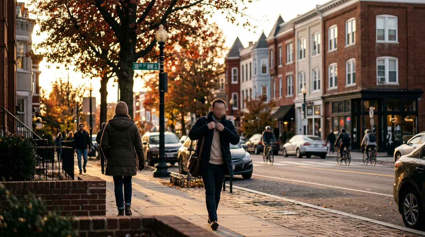
DMV Residents Brace for Chilly Morning, Welcome Milder Wednesday Afternoon
DMV residents can expect a noticeable temperature swing on Wednesday, with a chilly start to the morning giving way to a much milder and more comfortable afternoon across Washington, D.C., Maryland, and Virginia. Layers will be key for navigating the day's changing conditions.
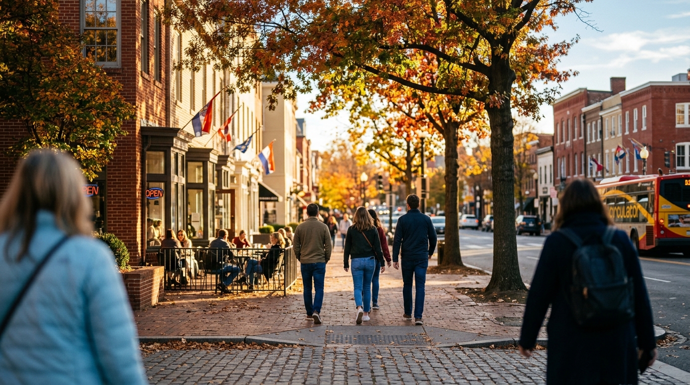
Crisp Fall Tuesday Greets Washington D.C. with Sunshine and Mild Temperatures
Washington

Crisp Mid-60s Day Dawns Across the DMV, Perfect for Fall Activities
The DMV area is set for a classic autumn day with crisp air and cool mid-60s temperatures, perfect for outdoor activities and enjoying the fall foliage.