Late Weekend Rains Poised to Cool Down Washington D.C. Area
Share this article
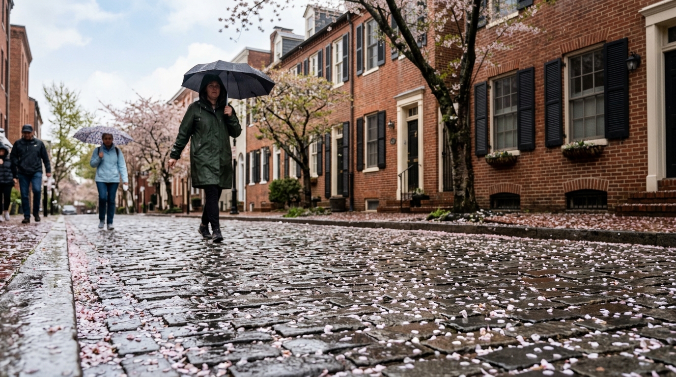
Rain's Arrival and Its Impact
As the afternoon light begins to wane on Saturday, a gradual increase in cloud cover will signal the impending change. While scattered showers might dot the landscape earlier in the day, the more persistent and widespread rain is anticipated to arrive as evening descends. This late-day arrival means that any outdoor plans for Saturday afternoon might still enjoy relatively dry conditions, but those stretching into the evening or early Sunday morning should prepare for wet weather.Planning for a Cooler Sunday
For those with Sunday plans, particularly outdoor activities like farmers' market visits or strolls through Rock Creek Park, a different kind of day awaits. The cooler air, combined with lingering dampness from the overnight rain, suggests layers will be a wise choice. It’s a return to the more temperate conditions often associated with April in the DMV, reminding us that spring’s warmth can be fleeting. Residents should also consider potential impacts on travel. While the forecast doesn't suggest severe weather, steady rain can make roads slick and reduce visibility. Commuters and weekend travelers are encouraged to check for real-time traffic and transit updates, especially if using Metrobus or driving on major arteries like the Capital Beltway or I-66.Looking Ahead
As Sunday progresses, the rain chances are expected to diminish, leaving behind a cooler, perhaps overcast, sky. This pattern sets the stage for the beginning of the next week, which is likely to start with temperatures more aligned with seasonal averages. The unseasonably warm spell will be a memory, replaced by the characteristic ebb and flow of spring weather in the region. Residents are advised to keep an eye on official weather updates from sources like the DC Homeland Security and Emergency Management Agency for any changes or advisories.📍 Local Resources
Provides emergency preparedness information, alerts, and resources for District residents during severe weather events.
Report power outages, check outage maps, and get safety tips for electrical issues during storms.
Non-emergency service request line for issues like downed trees, clogged storm drains, or street flooding.
Explore more on this topic
Related Stories
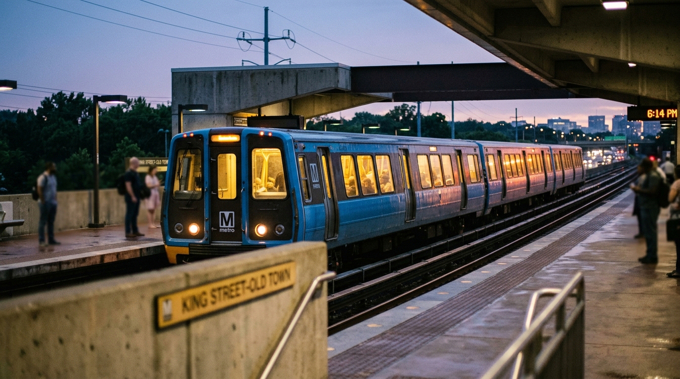
Multiday Amtrak and VRE Service Pause Between DC and Virginia Set for Friday
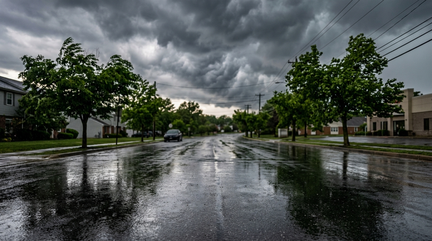
Maryland Braces for Wild Weather Swings: From 85 Degrees to Tornado Threats and a Cold Snap
Maryland is gearing up for a weather rollercoaster this weekend, with temperatures potentially hitting 85 degrees before threats of damaging winds, possible tornadoes, and a sharp cold front sweep through the region. DMV residents in Maryland should prepare for rapid shifts and severe weather.
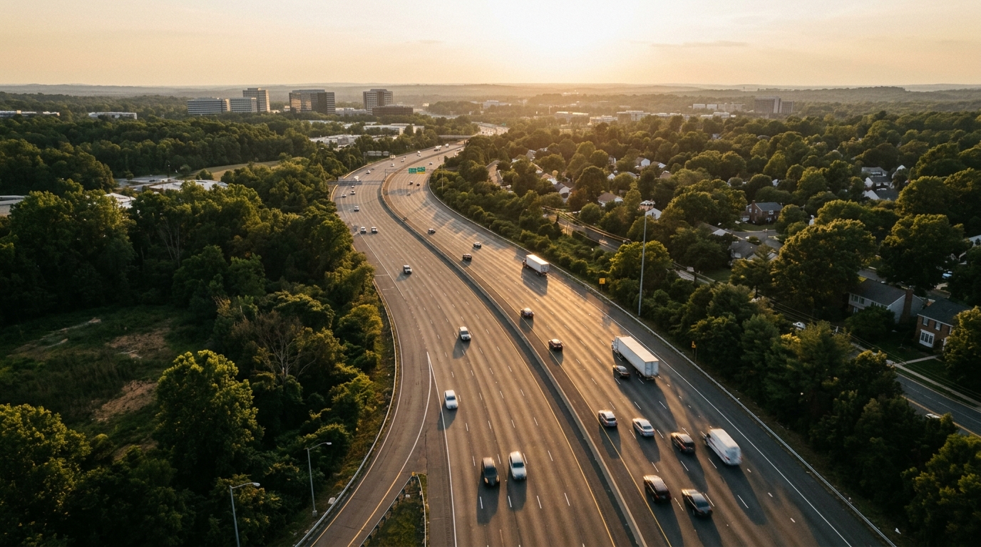
Fairfax County to Cut Speed Limits to 20 MPH on Ten Local Roads
Fairfax County is set to lower speed limits to 20 miles per hour on ten local roads, a move designed to boost safety for pedestrians and residents in neighborhood areas. This initiative reflects the county's commitment to traffic calming and reducing accident severity.