Damaging Winds and Hail Threaten Montgomery and Frederick Counties This Thursday
Share this article
What to Expect: Winds and Hail
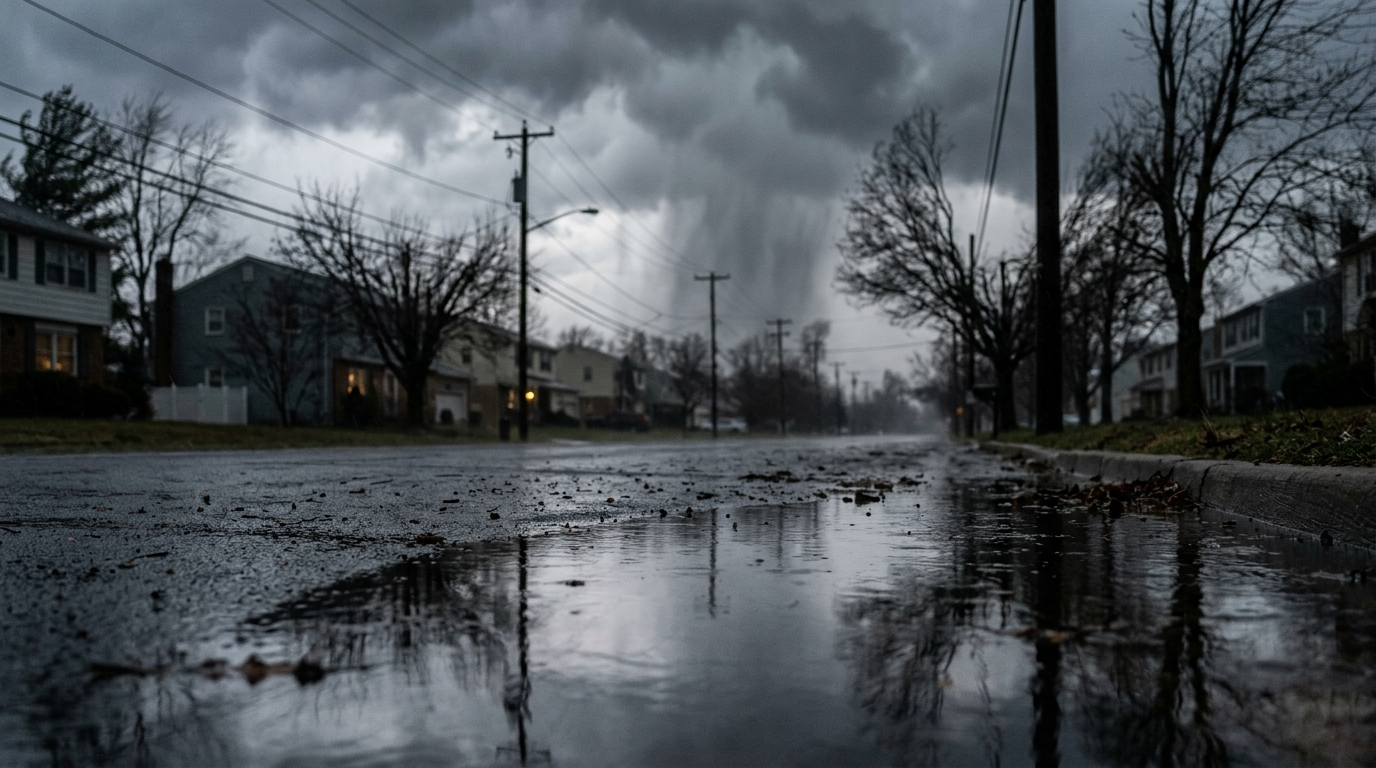
When forecasters talk about "damaging winds," they're generally referring to gusts strong enough to snap tree limbs, send unsecured outdoor furniture flying, and even cause structural damage to homes or businesses. These winds can often exceed 58 miles per hour, the threshold for a severe thunderstorm warning from the National Weather Service. Such powerful gusts can quickly turn a calm afternoon into a chaotic scene, making driving hazardous and outdoor activities dangerous. Alongside the wind threat, hail is also on the radar. Hailstones, which form in strong updrafts within thunderstorms, can range in size from pea-sized pellets to golf balls or larger. Even small hail can dent vehicles and damage roofs, while larger hail poses a significant risk to people caught outside, as well as property. Residents should consider parking vehicles in garages or under cover if possible, especially if a severe thunderstorm watch or warning is issued for their area.Preparing for the Storm
For those living in Montgomery County, stretching from Silver Spring up to the agricultural reserves, and in Frederick County, encompassing areas like Frederick City and Brunswick, preparation is key. Keeping an eye on local weather alerts is paramount. The best way to do this is through a weather radio, local news, or smartphone apps that provide real-time updates from official sources like the National Oceanic and Atmospheric Administration (NOAA). Before the storms roll in, it's a good idea to secure any loose outdoor items—think patio furniture, trash cans, and trampolines—that could become projectiles in high winds. Charge your mobile devices and any backup power banks you might have, in case of power outages. If you rely on medical equipment that requires electricity, make sure you have a plan for extended outages. During a severe thunderstorm, the safest place is indoors, away from windows and doors. If you hear thunder, lightning is likely nearby, and it’s time to head inside. Remember the adage: "When thunder roars, go indoors."DMV Impact and Local Response
While the initial report broadly mentions "Maryland," the threat specifically extends into the DMV region, affecting residents in Montgomery and Frederick counties. These areas are no strangers to severe weather, with their blend of suburban communities and rural landscapes making them susceptible to both wind damage and hail. Local emergency management agencies are likely monitoring the situation closely and preparing to respond to any storm-related incidents. Power outages are a common consequence of damaging winds. If the forecast holds true, residents should be prepared for potential disruptions to electricity service. Utility companies like Pepco in Montgomery County and Potomac Edison in Frederick County will be ready to deploy crews for restoration efforts, but these can take time, especially if damage is widespread. Knowing how to report an outage and having an emergency kit with flashlights, extra batteries, and a first-aid kit can make a big difference. This upcoming Thursday serves as a timely reminder for all DMV residents, particularly those in Maryland's affected counties, to review their emergency plans. Staying informed through official channels will be crucial as the day approaches and conditions evolve. What starts as a sunny morning could quickly turn into a stormy afternoon, so vigilance is the name of the game.📍 Local Resources
Provides guidance and resources for emergency preparedness and response in Montgomery County.
Offers emergency planning, public education, and coordination of disaster response for Frederick County residents.
Report power outages and check restoration status for Pepco customers in Montgomery County.
Report power outages and check restoration status for Potomac Edison customers in Frederick County.
Explore more on this topic
Related Stories

Sudden Autumn Chill Grips DC Area: Weekend Rain and Gusty Winds Mark End of Summer Warmth
After days of summer-like warmth, a cold front has dramatically shifted the DMV's weather, bringing chilly temperatures, widespread rain, and gusty winds this weekend. Residents should prepare for a significant drop in mercury and plan for soggy conditions, especially on Sunday.
DC Braces for Cooler Weekend with Scattered Showers
Washington, D.C., and its surrounding areas are bracing for a weekend featuring noticeably cooler temperatures and scattered showers. Residents planning outdoor activities might need to adjust, as the forecast points to a clear shift towards more autumnal weather.
Summer Heatwave Peaks Across DMV Before Rain and Cooler Temps Sweep In
The DMV region is set for a dramatic weather shift this week, with summer-like heat peaking Wednesday, pushing "feels like" temperatures near 100 degrees Fahrenheit. A cold front will then bring scattered showers and thunderstorms Wednesday evening, followed by significantly cooler temperatures and lower humidity for Thursday and Friday, with highs in the mid-70s.