Cooler Air Settles Over DMV, Bringing Increased Rain Chances After Warm Spell
Share this article

A Farewell to the 80s
The recent stretch of days boasting temperatures in the 80s, a treat for many eager to embrace spring, has come to an end for now [1]. This shift isn't just a minor fluctuation; it's a sustained change as a cooler air mass pushes into the DMV. For those who have grown accustomed to shedding their jackets for lunchtime strolls around Capitol Hill or evening walks along the Georgetown waterfront, the change in air quality will be palpable. The National Weather Service Baltimore/Washington office provides detailed local forecasts that underscore this transition, advising residents to adjust their attire accordingly.Rain Chances Persist
Beyond the temperature drop, the forecast also points to continued opportunities for rain. While the region has seen some beneficial rainfall recently, more chances are on the horizon, according to The Washington Post's live weather updates [1]. This renewed potential for showers could impact everything from morning commutes on the Beltway to evening plans in downtown DC. Drivers should remain vigilant for slick roads, and those relying on public transit might want to check for WMATA service alerts, particularly during heavier downpours.Preparing for the Change
As the mercury falls and rain chances increase, it's a good time for DMV residents to revisit their seasonal preparedness. Bringing a light jacket or umbrella when heading out will become a necessity. For those with gardens, the cooler temperatures and added moisture could be beneficial for spring plantings, though vigilance for potential frost, especially in outlying areas, remains wise. The DC Homeland Security and Emergency Management Agency (HSEMA) offers valuable resources on preparing for various weather conditions, emphasizing the importance of staying informed. This shift marks a return to more typical late-spring weather, reminding us of the region's dynamic seasonal patterns. Residents should keep an eye on local forecasts and be prepared for cooler, wetter conditions to define the landscape in the coming days.📍 Local Resources
Provides up-to-date weather forecasts, warnings, and advisories for the DMV region.
Offers guidance and resources for residents to prepare for and respond to various emergencies, including severe weather.
Provides emergency alerts, weather warnings, and critical information directly to residents of Montgomery County.
Offers preparedness information and emergency alerts for residents of Fairfax County, including weather-related guidance.
Explore more on this topic
Related Stories
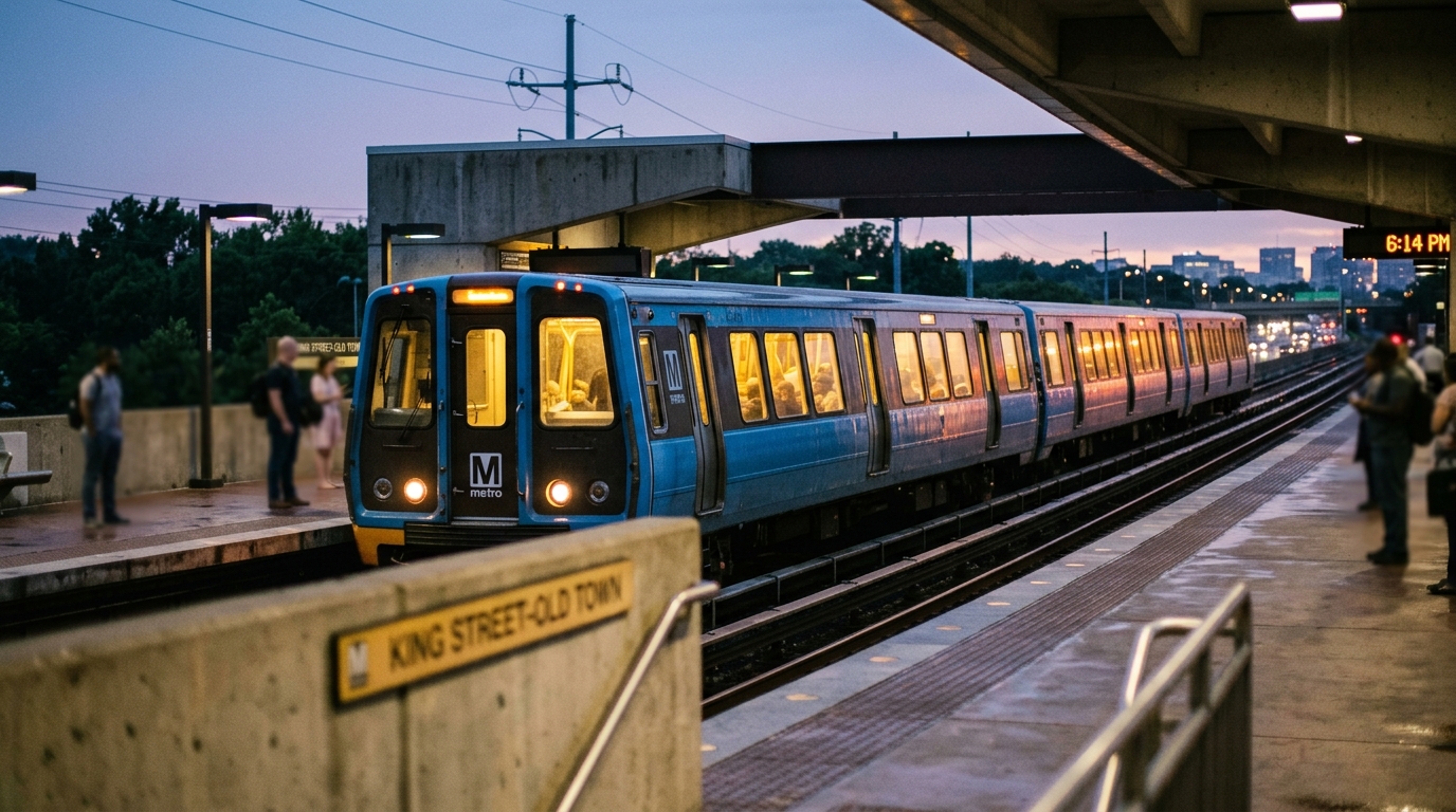
Multiday Amtrak and VRE Service Pause Between DC and Virginia Set for Friday
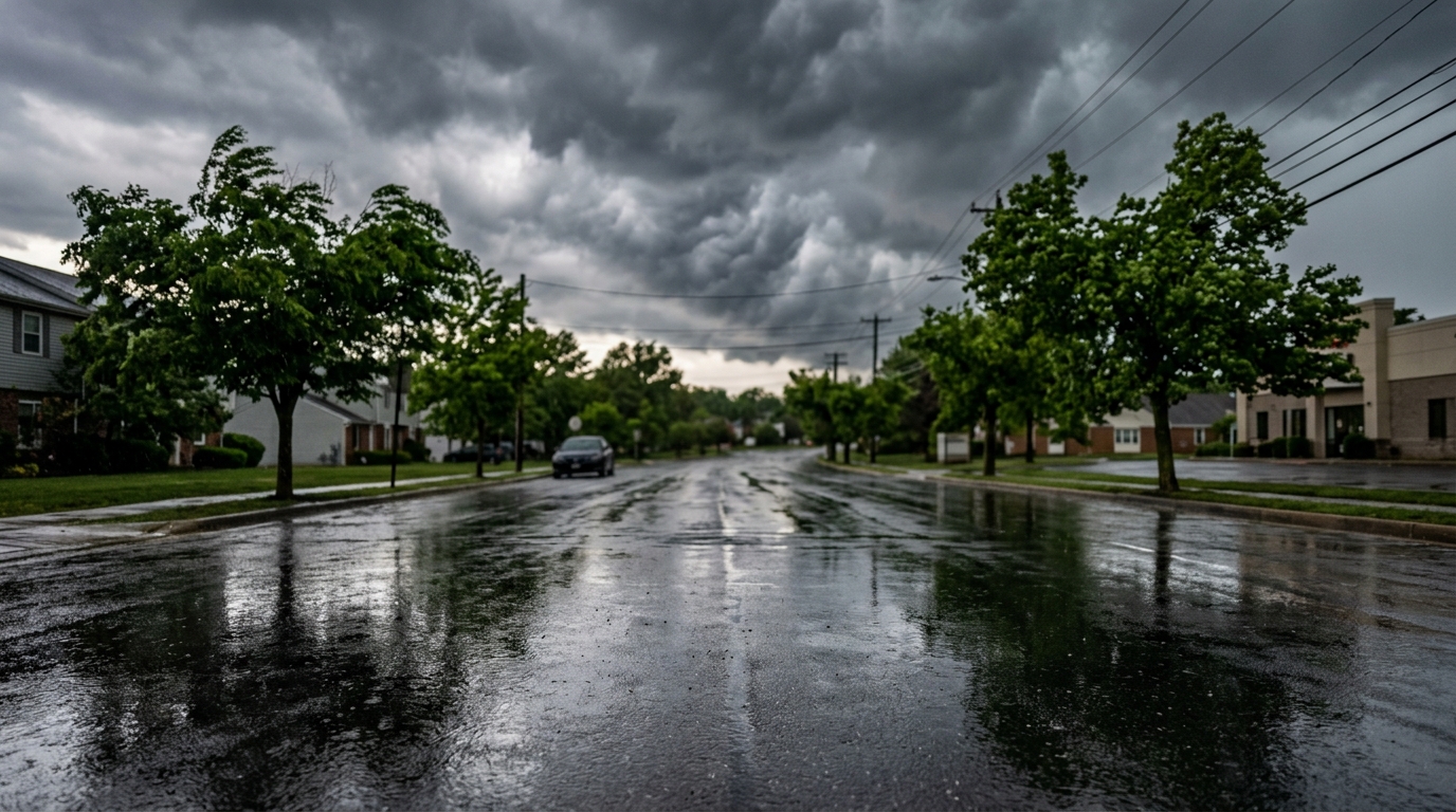
Maryland Braces for Wild Weather Swings: From 85 Degrees to Tornado Threats and a Cold Snap
Maryland is gearing up for a weather rollercoaster this weekend, with temperatures potentially hitting 85 degrees before threats of damaging winds, possible tornadoes, and a sharp cold front sweep through the region. DMV residents in Maryland should prepare for rapid shifts and severe weather.
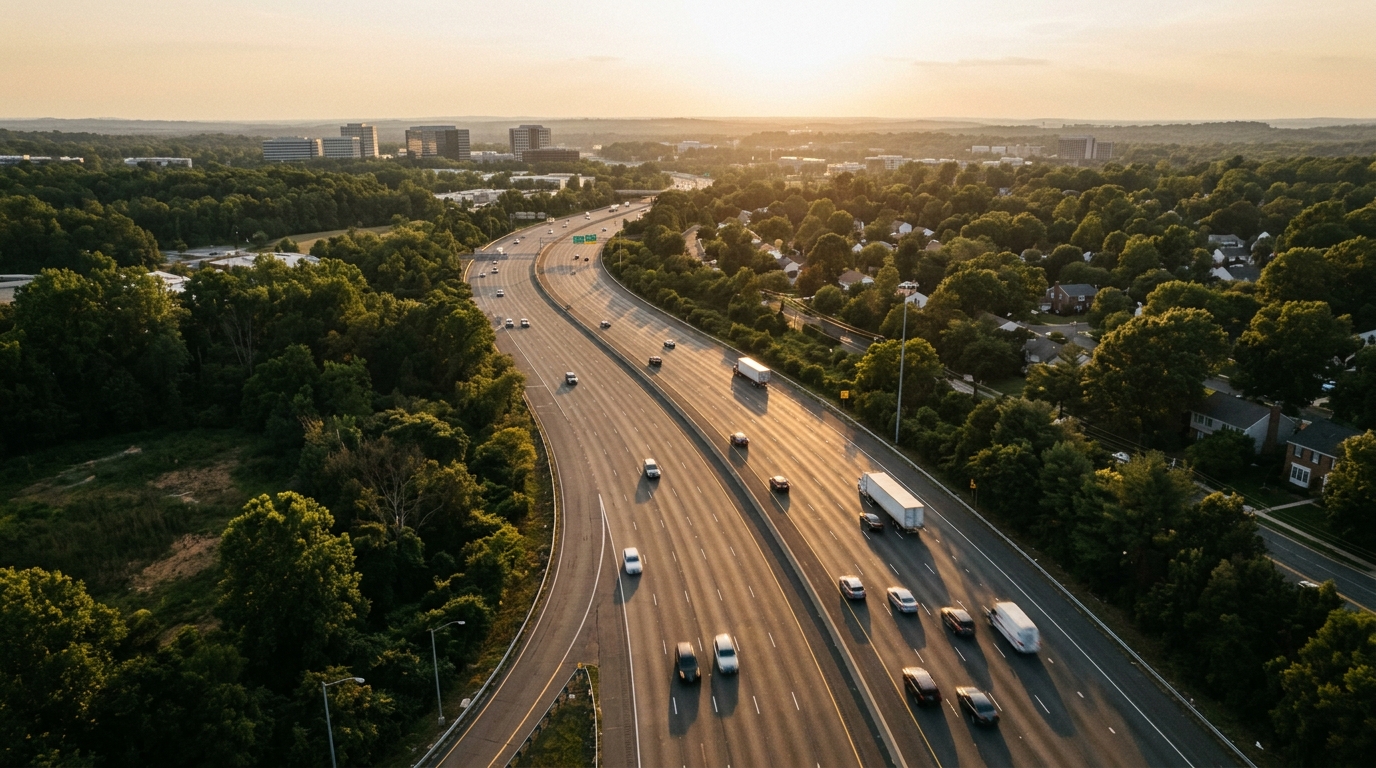
Fairfax County to Cut Speed Limits to 20 MPH on Ten Local Roads
Fairfax County is set to lower speed limits to 20 miles per hour on ten local roads, a move designed to boost safety for pedestrians and residents in neighborhood areas. This initiative reflects the county's commitment to traffic calming and reducing accident severity.