Northern Virginia High Schoolers Pioneer New Pedestrian Safety Map for Local Schools
Share this article
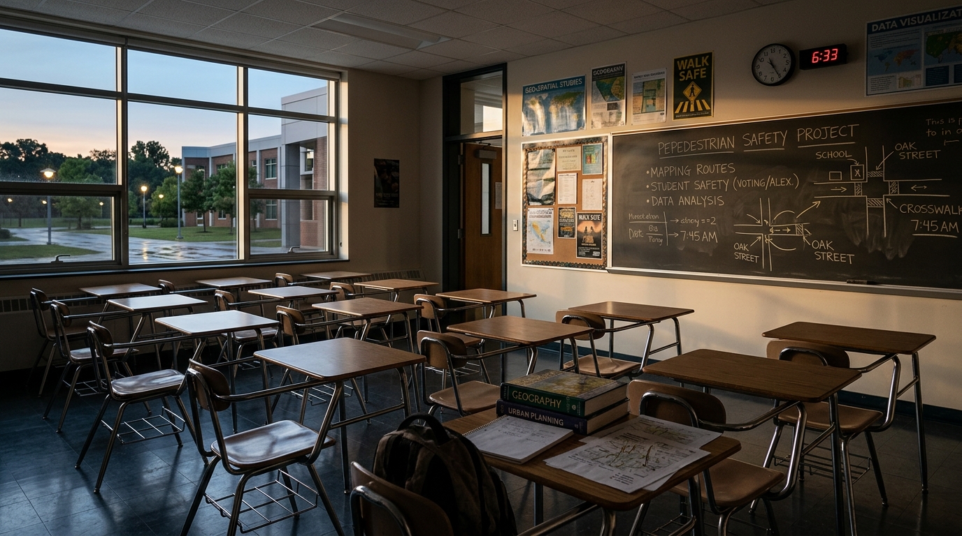
The Genesis of a Safer Path
The inspiration struck the three seniors as they considered their own commutes and those of countless classmates who walk, bike, or use public transit to get to school. They noticed how existing digital maps, while excellent for vehicular navigation, often overlooked critical details for pedestrians, such as the presence of continuous sidewalks, well-marked crosswalks, adequate lighting, or quieter streets away from heavy traffic. This realization sparked the idea for a mapping tool tailored to the unique needs of those on foot.Mapping Beyond the Driver's Seat
What sets this student-developed program apart is its dedicated focus on the pedestrian experience. Unlike traditional maps that might suggest the shortest route (which could involve crossing dangerous roads or walking on narrow shoulders), this new tool prioritizes safety and accessibility. It's designed to identify routes with: * **Continuous Sidewalks:** Ensuring a clear and safe walking surface away from vehicle traffic. * **Designated Crosswalks and Crossing Guards:** Highlighting official crossing points and times when supervision might be available. * **Adequate Street Lighting:** Mapping routes that are well-lit, particularly important for early morning or late afternoon commutes during darker months. * **Lower Traffic Volume:** Suggesting pathways through residential areas or quieter streets to minimize exposure to fast-moving vehicles. * **Elevation and Terrain:** Potentially considering inclines or obstacles that might affect accessibility for some pedestrians. The program essentially creates a "pedestrian-first" network, guiding students through routes optimized for their safety and comfort. This approach marks a significant shift from the car-centric default of most navigation apps, offering a tailored experience that truly serves the walking community.Local Schools Embrace Student Innovation
The impact of this student-led project is already being felt across Northern Virginia, as local schools have begun integrating the program into their safety planning and student resources. School administrators, always looking for ways to enhance student well-being, recognized the immediate value of a tool created by students, for students. According to The Washington Post, the program is proving to be an invaluable resource. It provides parents with peace of mind and equips students with reliable, safety-conscious navigation. This adoption underscores a growing commitment within Northern Virginia's educational system to prioritize active transportation and create safer environments for students traveling to and from school on foot. The Virginia Department of Transportation (VDOT) also emphasizes the importance of pedestrian safety initiatives, making this student project particularly timely. This initiative isn't just about safer routes; it's also about empowering students to take ownership of their local environment and contribute to community solutions. The success of these seniors highlights the potential for young innovators to address real-world problems with creative, practical applications. The program could also serve as a model for other school districts looking to enhance their pedestrian safety efforts, potentially influencing broader urban planning discussions around walkability in the DMV region.What This Means for Northern Virginia Residents
For families and students in Northern Virginia, this new mapping program offers a tangible improvement to daily routines. It means less guesswork for parents wondering about the safest path for their children, and more confidence for students navigating their way to school. The adoption of this tool by local school systems, such as those in Fairfax County Public Schools, demonstrates a proactive approach to enhancing community safety and promoting healthier, active commutes. As the program gains traction, residents can expect to see increased awareness around pedestrian safety and potentially further improvements to local walking infrastructure, driven by data and insights generated from such tools. It’s a reminder that sometimes, the most effective solutions come from those directly experiencing the problem. Watch for more schools to implement similar programs and for local governments to potentially integrate these student-led insights into broader pedestrian planning efforts across the region.📍 Local Resources for Pedestrian Safety
Provides resources and initiatives for pedestrian safety, including safe routes to school programs and infrastructure improvements.
Offers programs and information on pedestrian and bicycle safety, including educational materials for students and families.
Provides public health information and injury prevention resources related to pedestrian safety across the state.
Explore more on this topic
Related Stories

Baltimore Museum of Art Unveils "Never Seen Before" Photography Retrospective
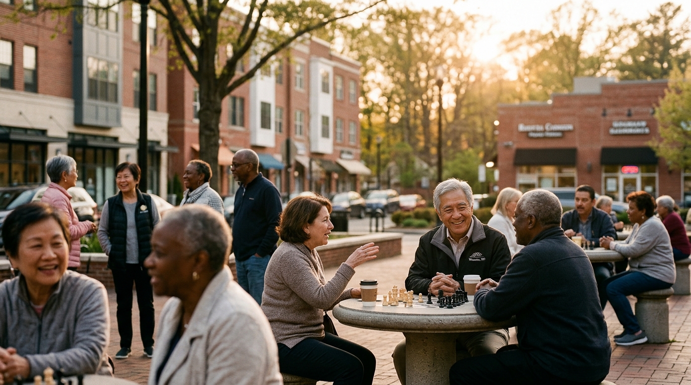
Montgomery County's Senior Population Surges, Demanding Urgent Community Adaptation
A new study reveals that almost a quarter of Montgomery County residents were 60 or older in 2025, a demographic set to grow nearly four times faster than the younger population by 2045. This significant shift demands urgent adaptation in housing, services, and community planning across the county.
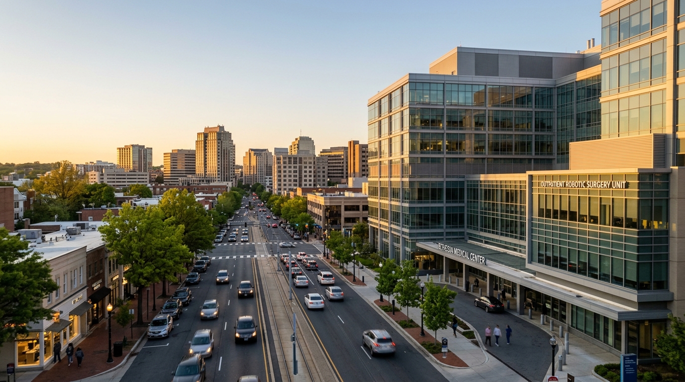
Bethesda Patient Undergoes First-of-Its-Kind Robotic Surgery for Breast Cancer, Retaining Sensation
A Bethesda breast cancer patient recently underwent a groundbreaking robotic surgery designed to preserve sensation, marking a significant advancement in local medical care.