Dangerous Heat Wave Grips DMV Through Thursday, Severe Storms Possible
Share this article
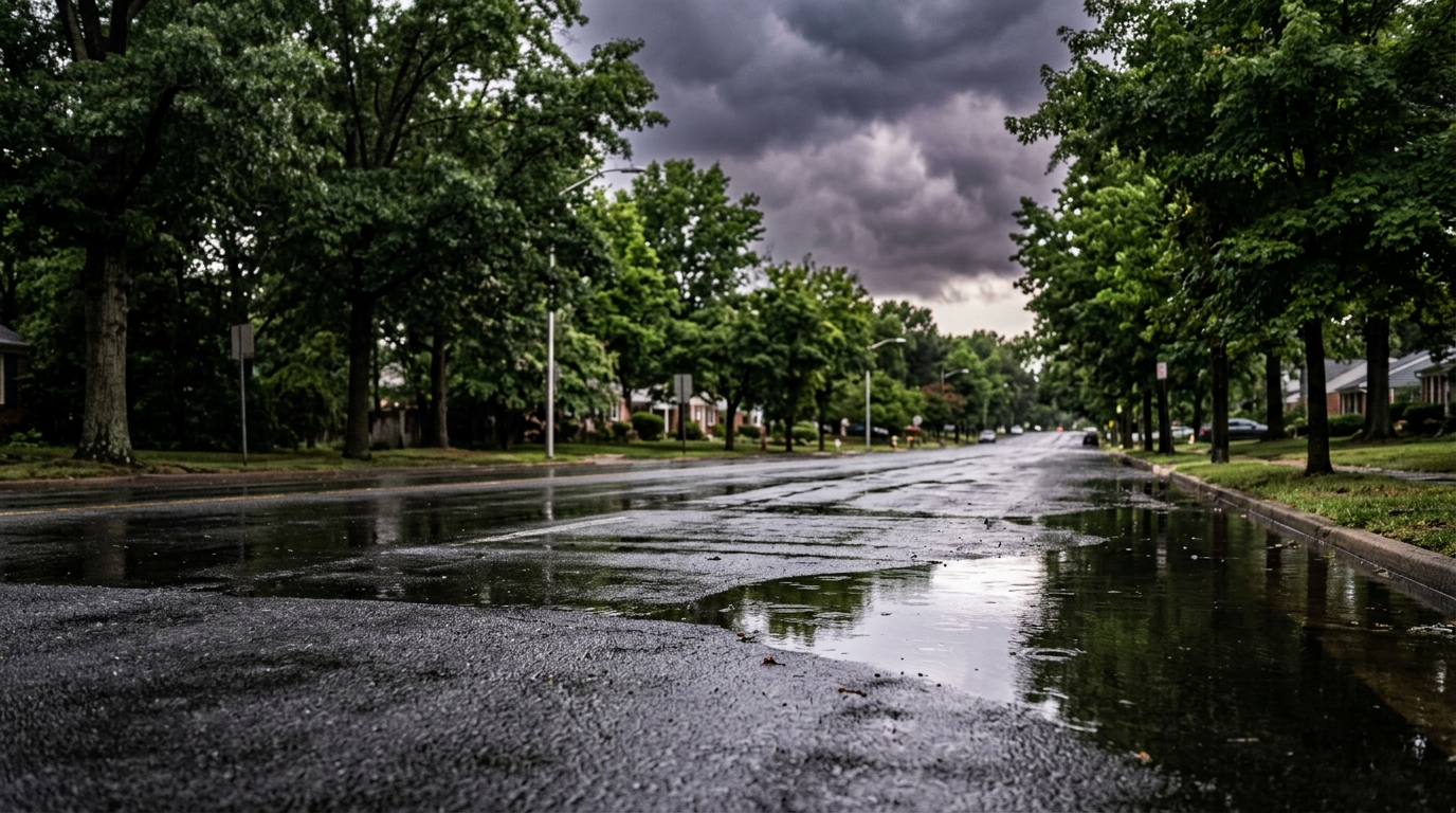
Intense Heat Grips the Region
Starting today and continuing into Thursday, the DMV will experience oppressive heat that can quickly become a health hazard. Highs are forecast to consistently hover between 90 and 98 degrees, but it's the "feels like" temperature – the heat index – that poses the most significant risk. These values, driven by high humidity, are predicted to reach 100 to 105 degrees daily [1]. Such conditions make outdoor activities risky and can lead to heat exhaustion or heatstroke if proper precautions aren't taken.Daily Storm Chances with Severe Risk
Beyond the sweltering heat, the week also brings a daily threat of thunderstorms, some of which could turn severe. While Tuesday is expected to remain mostly dry, 7News Meteorologist Eileen Whelan warned WTOP that "a few late-day thunderstorms are possible, especially north and east of D.C. as storms drift south from Pennsylvania." These storms, though low in chance on Tuesday, could produce damaging wind gusts and hail [1]. Wednesday continues the dangerous heat, with afternoon and evening storms again in the forecast, some with the potential to become severe. The risk heightens on Thursday as an approaching cold front increases storm chances. While the timing remains uncertain, afternoon and evening storms could develop, potentially bringing strong to severe weather conditions [1]. Residents should have a way to receive weather alerts and be prepared to seek shelter if storms develop.Relief on the Horizon for Labor Day Weekend
There's good news for those planning Labor Day weekend activities. The cold front that triggers Thursday's storm chances will begin to move through the DMV area on Friday, bringing additional storm opportunities but also gradually easing the most intense heat."The weather pattern will change by Saturday." — Eileen Whelan, 7News Meteorologist (WTOP)Meteorologist Eileen Whelan anticipates a significant shift by Saturday, promising a much cooler and more comfortable Labor Day weekend. Highs are expected to drop into the mid-80s, accompanied by lower humidity, making for much more pleasant conditions. While a few showers and thunderstorms are still possible on Saturday as the cold front fully crosses the region, Sunday and Labor Day Monday are currently trending dry [1]. This offers a welcome respite after a taxing week of extreme weather.
Staying Safe in the DMV's Extreme Conditions
For DMV residents, this week demands heightened awareness. The combination of scorching heat and potential severe thunderstorms means planning ahead is crucial. Stay indoors during the hottest parts of the day, typically between 10 a.m. and 4 p.m., and use air conditioning if available. If you must be outside, wear light-colored, loose-fitting clothing, drink plenty of water, and take frequent breaks in the shade. Children and pets should never be left unattended in vehicles. When thunderstorms are possible, pay close attention to local weather alerts. Have a plan for where to go if a severe storm approaches, and be ready for potential power outages. Local emergency management agencies across Washington, D.C., Maryland, and Virginia offer excellent resources for heat safety and storm preparedness. For example, the DC Homeland Security and Emergency Management Agency (HSEMA) provides comprehensive tips on staying safe during extreme heat. Similarly, Montgomery County's Office of Emergency Management and Homeland Security has specific guidance for its residents. As we move through this challenging weather week, it's vital for everyone in the DMV to prioritize safety. Keep an eye on the forecast, stay cool, and be prepared for whatever the skies might bring.📍 Local Resources
During extreme heat, the District opens cooling centers at recreation centers, libraries, and other public facilities. Check the HSEMA website for current locations.
Provides information and resources for heat safety, emergency preparedness, and cooling center locations within Montgomery County.
Offers guidance on extreme weather, including heat safety and locations of cooling centers in Fairfax County, Virginia.
Explore more on this topic
Related Stories
Summer's Encore: DMV Braces for Unseasonably Warm 80-Degree October Days
The DMV area is set for an unexpected return to summer-like temperatures this week, with forecasts predicting highs reaching 80 degrees and even hotter days on the way, pushing back the usual crisp autumn feel.

Weekend Washout Watch: DMV Braces for Evening and Sunday Morning Showers
The DMV region is set to experience showers tonight and through Sunday morning, potentially impacting weekend plans and travel across Washington, D.C., Maryland, and Northern Virginia.
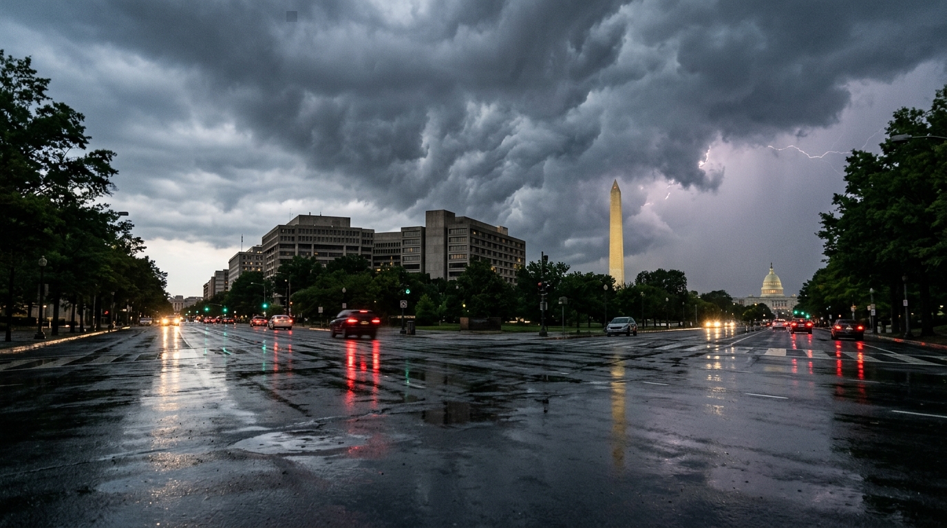
Storms Poised to Roll Through DC Region Saturday Night
Storms are expected to hit the DC metropolitan area Saturday night, bringing potential rain, wind, and lightning to D.C., Maryland, and Northern Virginia. Residents should prepare for possible power outages and tricky driving conditions.