Severe Thunderstorm Watch Issued for Arlington, Falls Church Ahead of Cold Front
Share this article
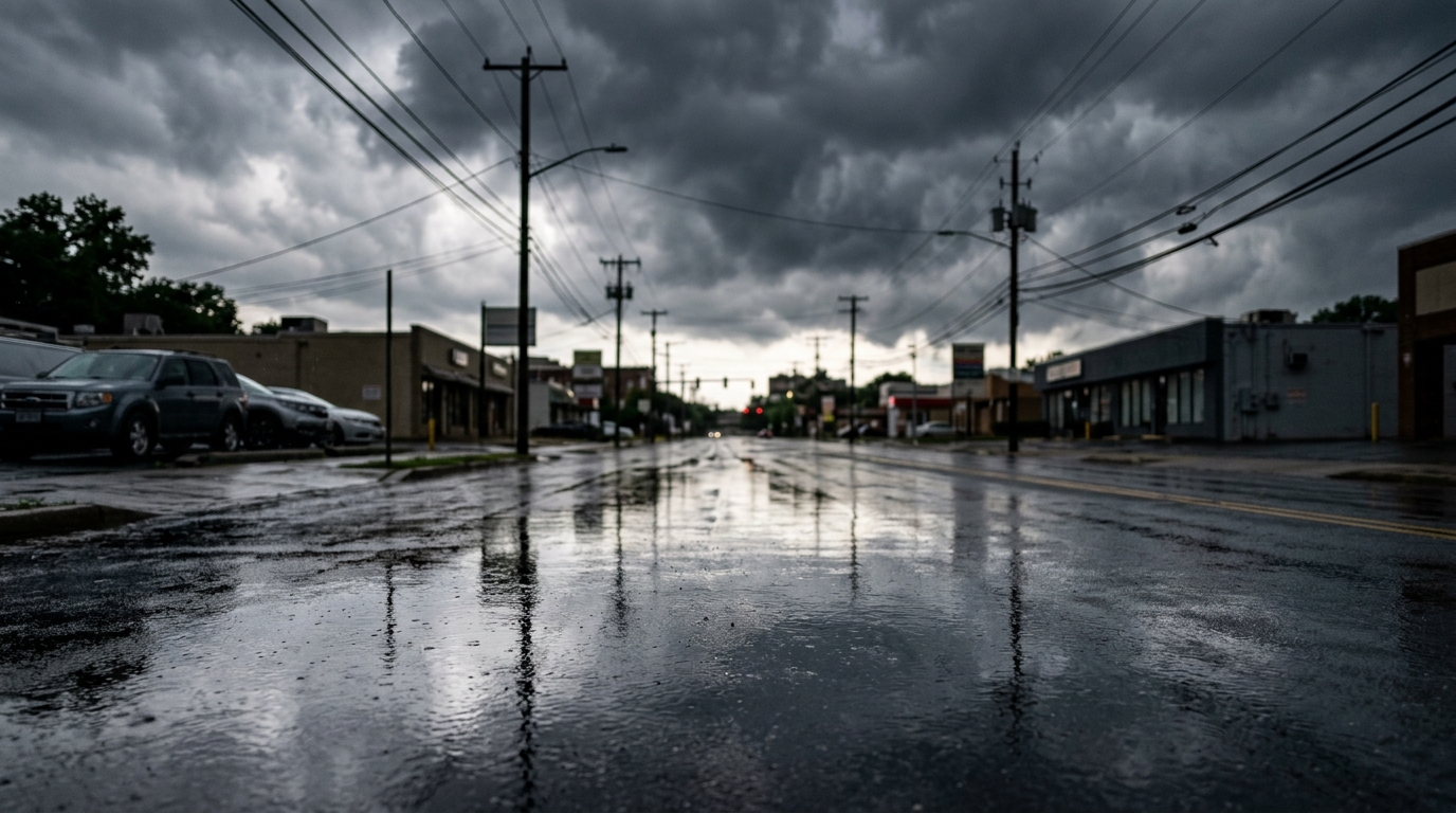
What a Severe Thunderstorm Watch Means for You
It's important to understand the difference between a "watch" and a "warning." A Severe Thunderstorm Watch means that conditions are favorable for severe thunderstorms to develop in or near the watch area. This isn't a guarantee that storms will hit every neighborhood, but it means residents need to be vigilant and ready to take action.Preparing for Potential Impacts in Arlington and Falls Church
For those living in Arlington, from Rosslyn to Shirlington, and throughout Falls Church City, now is the time to secure outdoor items like patio furniture, trash cans, and anything else that could be blown around by strong winds. It's also a good idea to bring pets indoors. The approaching cold front is the driving force behind this weather event. As the front pushes through, it creates an unstable atmosphere conducive to the formation of powerful storms. Once the front passes, typically the severe weather threat diminishes, and cooler, drier air moves in, leading to a noticeable drop in temperatures. Keeping an eye on local weather updates is crucial. The National Weather Service's local office provides real-time information and issues warnings as specific threats develop. Many local news outlets and emergency services also offer alert systems that can send notifications directly to your phone. For preparedness information, the Arlington County Office of Emergency Management is a key resource.Looking Ahead: What Comes Next
After the severe thunderstorm watch expires at 8 p.m., the immediate threat of intense storms should diminish. However, the "sharp cold front" mentioned means a significant change in temperatures is on the horizon. Expect a noticeable cooldown overnight and into tomorrow, signaling a shift in the region's weather pattern. This transition often brings clearer skies but also requires residents to adjust to cooler conditions. As the evening progresses, keep your phones charged and stay informed. Having a plan in place for power outages and knowing where to go for shelter if a severe thunderstorm warning is issued can make all the difference. Stay safe, DMV, and be ready for whatever the skies throw our way tonight.📍 Local Resources
Official source for weather watches, warnings, and forecasts for the DMV area.
Provides emergency preparedness information, alerts, and resources for Arlington residents.
Explore more on this topic
Related Stories
Warm Friday Afternoon in DMV Set to Give Way to Evening Storms
The DMV region is set for a warm Friday afternoon before evening storm chances arrive, potentially impacting commutes and outdoor plans across Washington, D.C., Maryland, and Northern Virginia.
DMV Experiences Sharp Weather Shift, Cooler Air Follows Record Highs
The DMV is experiencing a sharp shift in weather, with cooler temperatures quickly replacing earlier record-breaking highs. Residents are preparing for a return to more seasonal autumn conditions after an unseasonably warm spell.
DMV Braces for Near 90-Degree Summerlike Warmth Before Afternoon Rain Chance
The DMV region is set to experience a sudden burst of summerlike warmth, with temperatures expected to climb near 90 degrees Fahrenheit this week. This heat wave will be followed by a chance of afternoon and evening rain, bringing a mix of conditions that will impact daily life across Washington D.C., Maryland, and Northern Virginia.